
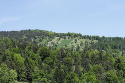
Planwiesengebiet, protected area of Upper Austria, Austria
Location: Grünburg
Inception: 2001
GPS coordinates: 47.87900,14.20300
Latest update: April 7, 2025 16:18
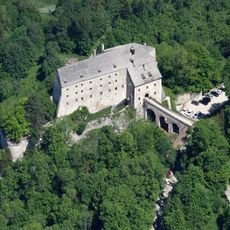
Burg Altpernstein
3.5 km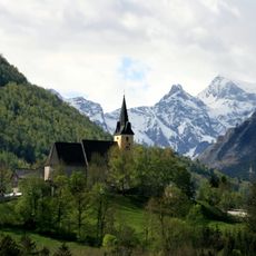
Wallfahrtskirche Frauenstein
3.6 km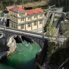
Steyrdurchbruch power station
1.7 km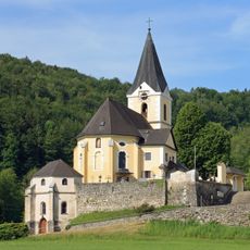
Pfarrkirche Leonstein
2.6 km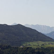
Hirschwaldstein
2.8 km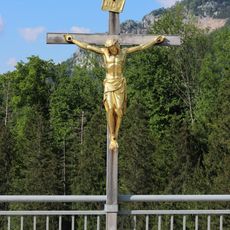
Brückenkreuz
3.2 km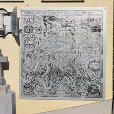
Vischer-Gedenkstätte
2.6 km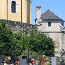
Friedhof und Karner
2.6 km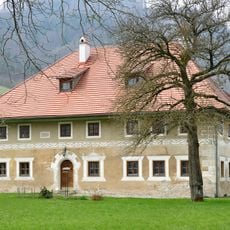
Hasengütl
3.6 km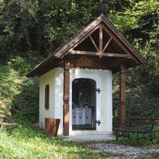
Riedbergkapelle
2.1 km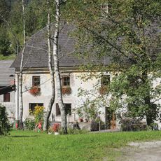
Dandlmühle
1.5 km
Tiefengrabenbrücke
1.5 km
Riedbergstraße
1.8 km
Familiengrab Hans-Joachim Kulenkampff
3.5 km
Straßenbrücke (westliche Widerlager)
1.7 km
Alte Volksschule
3.6 km
Ehem. Eisenbahnbrücke, heute Radweg, sog. Tiefengrabenbrücke
1.5 km
Kapelle des Hl. Nepomuk in Molln
3.2 km
Plangrabenbrücke
762 m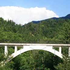
Ehem. Eisenbahnbrücke, heute Radweg, sog. Tiefengrabenbrücke
1.5 km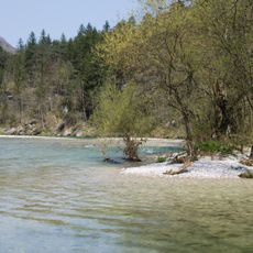
Steyrschlucht
3.2 km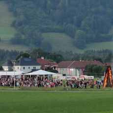
Peterfeuer der FF Leonstein
2.4 km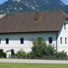
Pfarrhof
2.7 km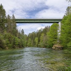
Stefaniebrücke
3.1 km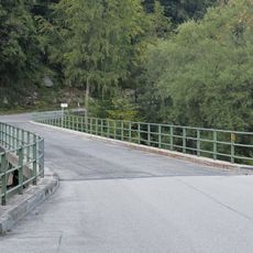
Ramsauerbrücke
3.3 km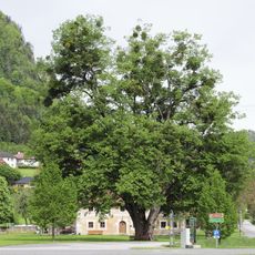
Bühler-Linde
3.6 km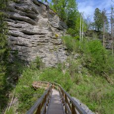
Zinkensteg
3.5 km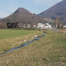
Mollner Bach
3.2 kmReviews
Visited this place? Tap the stars to rate it and share your experience / photos with the community! Try now! You can cancel it anytime.
Discover hidden gems everywhere you go!
From secret cafés to breathtaking viewpoints, skip the crowded tourist spots and find places that match your style. Our app makes it easy with voice search, smart filtering, route optimization, and insider tips from travelers worldwide. Download now for the complete mobile experience.

A unique approach to discovering new places❞
— Le Figaro
All the places worth exploring❞
— France Info
A tailor-made excursion in just a few clicks❞
— 20 Minutes