
Aufhamer Uferwald, protected area of Upper Austria
Location: Attersee am Attersee
Inception: 1987
GPS coordinates: 47.89850,13.53135
Latest update: June 27, 2025 12:40
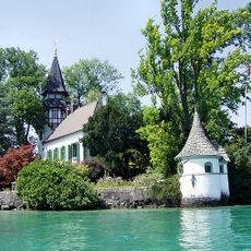
Schloss Litzlberg
4.3 km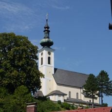
Pfarr- und Wallfahrtskirche Mariä Himmelfahrt
2.1 km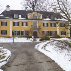
Schloss Wildenhag
3.3 km
Evangelical Church Attersee
2 km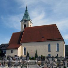
Pfarrkirche Weyregg
3.1 km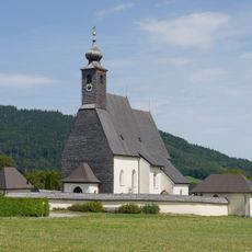
Pfarrkirche Abtsdorf
1.8 km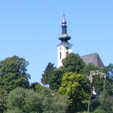
Burg Attersee
2.1 km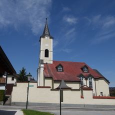
Pfarrkirche hl. Mauritius, Nußdorf am Attersee
1.9 km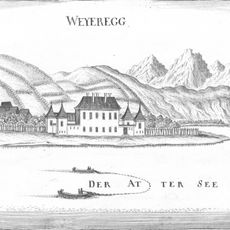
Schloss Weyregg
2.9 km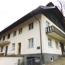
Schloss Selling
3.7 km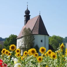
Saint Stephen Church (Buchberg, Seewalchen am Attersee)
4.3 km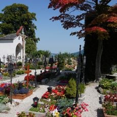
Friedhof und Fläche des ehem. karolingischen Königshofes
2.1 km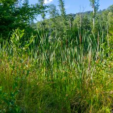
Reinthallermoos
2.1 km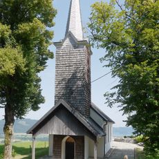
Kronbergkapelle
3 km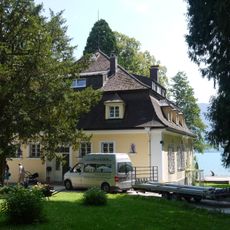
Ehem. Villa Ransonnet, Seminarhotel Grafengut und Bootshaus
2.3 km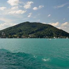
Buchberg
3.3 km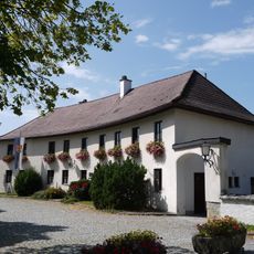
Heimathaus
2.1 km
Landhaus Gamerith oder Villa Plischke
3.9 km
Wirtschaftspfarrhof Lohen
3.8 km
Pfarrhof
2 km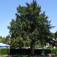
Zwei Eiben in Attersee
1.8 km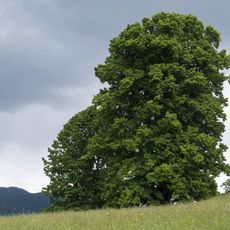
Gerichtslinde am Burggraben
2.1 km
Baumreihe in Aufham
749 m
Ringwallanlage Buchberg
3.2 km
Evangelischer Pfarrhof
2 km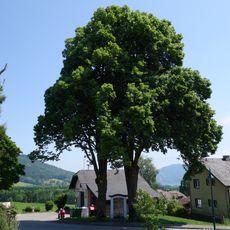
Zwei Kapellenlinden von Abtsdorf
2.2 km
Pfarrhof mit Waschküche
2 km
Ehem. evangel. Pfarrhaus
2.3 kmReviews
Visited this place? Tap the stars to rate it and share your experience / photos with the community! Try now! You can cancel it anytime.
Discover hidden gems everywhere you go!
From secret cafés to breathtaking viewpoints, skip the crowded tourist spots and find places that match your style. Our app makes it easy with voice search, smart filtering, route optimization, and insider tips from travelers worldwide. Download now for the complete mobile experience.

A unique approach to discovering new places❞
— Le Figaro
All the places worth exploring❞
— France Info
A tailor-made excursion in just a few clicks❞
— 20 Minutes