Moor bei Vorderweißenbach, protected area of Upper Austria, Austria
Location: Vorderweißenbach
Inception: 2005
GPS coordinates: 48.56794,14.23596
Latest update: November 13, 2025 19:12
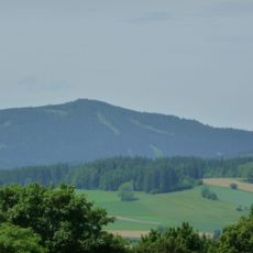
Sternstein
2.5 km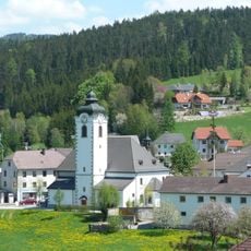
Sankt Peter und Paul
2.2 km
Marks
3.2 km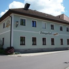
Ehem. Braugasthof, Gasthof Mascher
2.1 km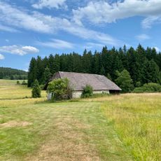
Hof Dürnau 4
2.7 km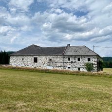
Hof Dürnau 1
2.7 km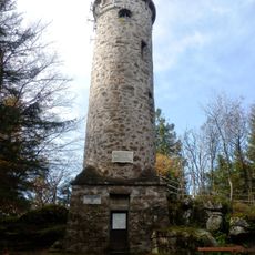
Sternsteinwarte
2.5 km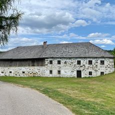
Hof Dürnau 3
2.7 km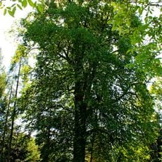
Winterlinde von Oberweißenbach
2 km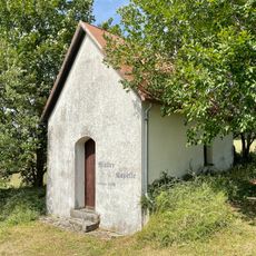
Müllerkapelle
2.9 km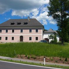
Pfarrhof
2 km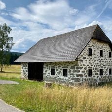
Hof Dürnau 2
2.8 km
Wayside shrine
2.7 km
Liedl Kreuz
2.5 km
Predigtstein
917 m
Hölzener Hergott
1 km
Obernhausermarterl
3.5 km
1000m -Platzerl
1.8 km
House of prayer, place of worship, wayside shrine
3.5 km
Rotes Marterl
1.5 km
Wayside shrine
3.1 km
Wayside shrine
2.8 km
Catholic church building, wayside cross, Christianity
1.3 km
Wayside shrine
878 m
Spindlerkreuz
902 m
Wayside shrine
1.4 km
Pfarrergrotte
1.3 km
Pfarre Kapellen
3.5 kmReviews
Visited this place? Tap the stars to rate it and share your experience / photos with the community! Try now! You can cancel it anytime.
Discover hidden gems everywhere you go!
From secret cafés to breathtaking viewpoints, skip the crowded tourist spots and find places that match your style. Our app makes it easy with voice search, smart filtering, route optimization, and insider tips from travelers worldwide. Download now for the complete mobile experience.

A unique approach to discovering new places❞
— Le Figaro
All the places worth exploring❞
— France Info
A tailor-made excursion in just a few clicks❞
— 20 Minutes