
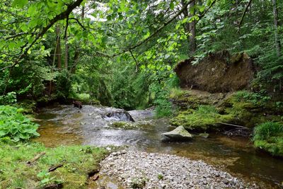
Fallerbach, natural monument of Upper Austria, Austria
Location: Steyr-Land District
GPS coordinates: 47.97311,14.35686
Latest update: October 29, 2025 18:36
Museumsdorf Trattenbach
4.9 km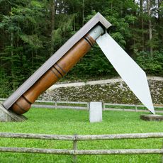
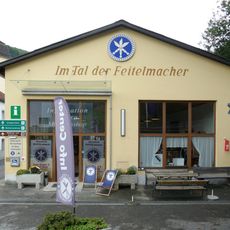
Weltrekord-Taschenfeitel
4.9 km
Ternberg Pfarrkirche
3 km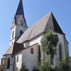
Aschach an der Steyr Parish Church
4.7 km
Museum in der Wegscheid
5.4 km
Koglerhof
3.4 km
Filialkirche Trattenbach
5.4 km
Feitelwerkstätte Löschenkohl
5.2 km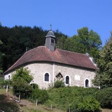
Auer-Kapelle zu Dambach
4.6 km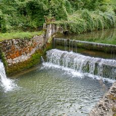
Trattenbach
4.8 km
Pilsenfels
5.3 km
Rebensteinmauern
4.9 km
Wallnermühle
4.9 km
Haberleitnermühl
5.1 km
Ehem. Wirtshaus im Bäckengraben, Vorderau
4.4 km
Trattenbachbrücke
4.9 km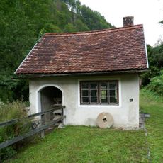
Mühle an der Wegscheid
5.4 km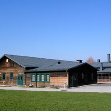
Wohnbaracke, ehem. KZ- Nebenlager
3.6 km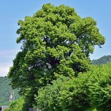
Pfarrerlinde in Ternberg
3.9 km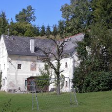
Zaus-Mühle
4.4 km
Mühle im Garten
5.2 km
Linde bei der Fatima Kapelle
4.6 km
Wohnhaus, ehem. Pfarrhof
3.9 km
Stechpalme von Garsten
3.9 km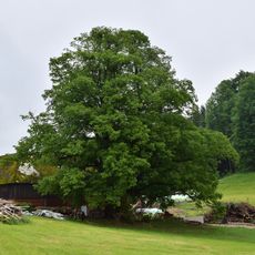
Rebensteiner Hauslinde in Garsten
5.1 km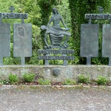
Trattenbach war memorial
5.4 km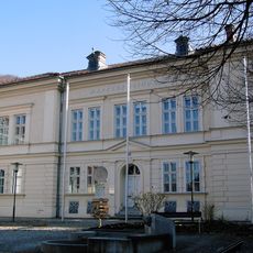
Gemeindeamt, ehem. Volksschule
3 km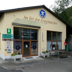
Info Center Trattenbach
4.9 kmReviews
Visited this place? Tap the stars to rate it and share your experience / photos with the community! Try now! You can cancel it anytime.
Discover hidden gems everywhere you go!
From secret cafés to breathtaking viewpoints, skip the crowded tourist spots and find places that match your style. Our app makes it easy with voice search, smart filtering, route optimization, and insider tips from travelers worldwide. Download now for the complete mobile experience.

A unique approach to discovering new places❞
— Le Figaro
All the places worth exploring❞
— France Info
A tailor-made excursion in just a few clicks❞
— 20 Minutes