Lesesteinhaufen, Lesesteinstruktur, Siedlungsspuren Hochgebirge in der Gemeinde Kartitsch, Bezirk Lienz
Location: Kartitsch
Elevation above the sea: 2,326 m
GPS coordinates: 46.68364,12.48952
Latest update: November 22, 2025 00:48
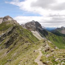
Karnischer Höhenweg
992 m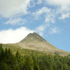
Col Quaternà
2.2 km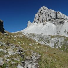
Monte Cavallino
2.8 km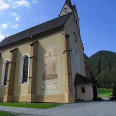
Pfarrkirche St. Leonhard
4.7 km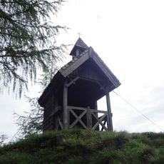
Prinz-Heinrich-Kapelle
1.3 km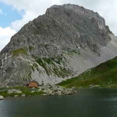
Rosskopf (Carnic Alps)
866 m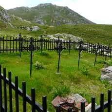
Kriegerfriedhof
470 m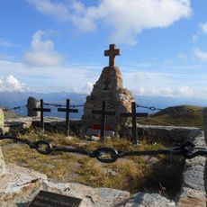
Hollbruck, Militärfriedhof Hochgränten
3.9 km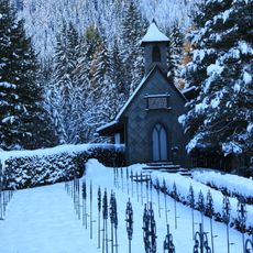
Militärfriedhof mit Kapelle im Ort
4.5 km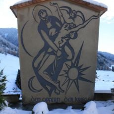
Kriegerdenkmal
4.7 km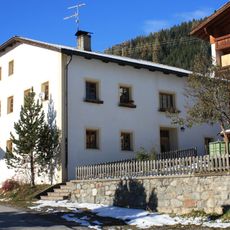
Widum
4.8 km
Getreidemühle Kanter
4.7 km
Außergarbermühle
4.7 km
Eisenreich
1.6 km
Unklare Struktur
571 m
Unklare Struktur Kartitsch
309 m
Wayside shrine
1.6 km
Wayside shrine
1.7 km
Soldatenfriedhof
4.5 km
Kriegerfriedhof
3.9 km
Terrassen der Baracken und Unterstände aus 1. Weltkrieg
3.9 km
Memorial cross, memorial
2.9 km
War memorial, memorial
3.2 km
Ruins
2.4 km
Waterfall
1.6 km
Waterfall
1.5 km
Waterfall
1.4 km
Waterfall
572 mReviews
Visited this place? Tap the stars to rate it and share your experience / photos with the community! Try now! You can cancel it anytime.
Discover hidden gems everywhere you go!
From secret cafés to breathtaking viewpoints, skip the crowded tourist spots and find places that match your style. Our app makes it easy with voice search, smart filtering, route optimization, and insider tips from travelers worldwide. Download now for the complete mobile experience.

A unique approach to discovering new places❞
— Le Figaro
All the places worth exploring❞
— France Info
A tailor-made excursion in just a few clicks❞
— 20 Minutes