
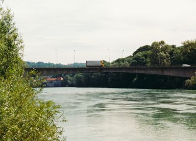
Ennstalbrücke, ehemalige Straßenbrücke in Steyr
Location: Steyr
Inception: 1961
GPS coordinates: 48.04373,14.42929
Latest update: September 23, 2025 16:56
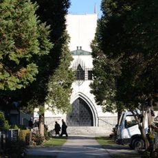
Urnenfriedhof am Tabor
483 m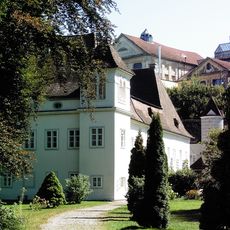
Schloss Engelhof
293 m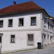
Bürgerhaus, former Gasthaus Zur Weißen Krone, Haratzmüllerstraße 23, Steyr
405 m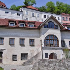
Fischerhaus, Fischergasse 1, Steyr
446 m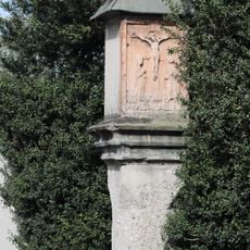
Bildstock in Steyr
180 m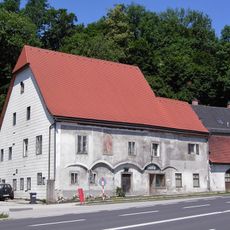
Bürgerhaus
244 m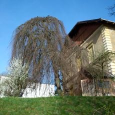
Trauerbuche in Steyr
409 m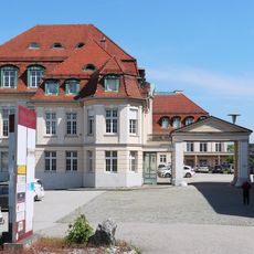
Palais Werndl
380 m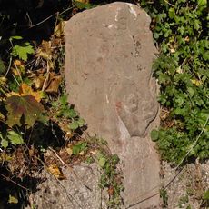
Grenzstein
342 m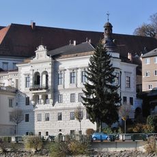
Villenartiger Bau
478 m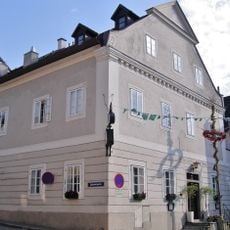
Gasthaus Seidl-Bräu
412 m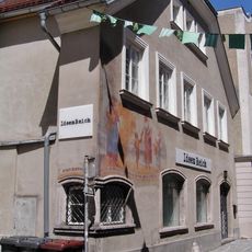
Haratzmüllerstraße 9
471 m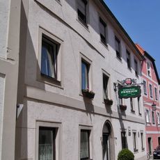
Gasthof
386 m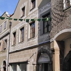
Bürgerhaus
454 m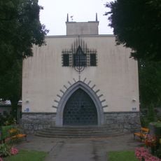
Krematorium Steyr
445 m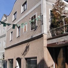
Bürgerhaus
428 m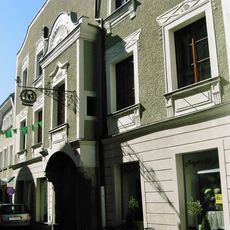
Bürgerhaus
457 m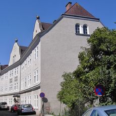
Kommunaler Wohnbau
217 m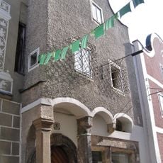
Bürgerhaus
463 m
Bürgerhaus
463 m
Haratzmüllerstraße 14
444 m
Bürgerhaus
444 m
Bürgerhaus
471 m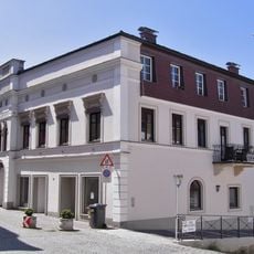
Miethaus
436 m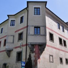
Bürgerhaus, Belleterker und Mauer
314 m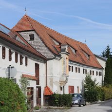
Haratzmüllerstraße 47
142 m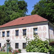
Stohl-Haus und Mauer
262 m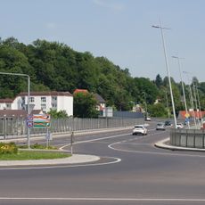
Rederbrücke
30 mReviews
Visited this place? Tap the stars to rate it and share your experience / photos with the community! Try now! You can cancel it anytime.
Discover hidden gems everywhere you go!
From secret cafés to breathtaking viewpoints, skip the crowded tourist spots and find places that match your style. Our app makes it easy with voice search, smart filtering, route optimization, and insider tips from travelers worldwide. Download now for the complete mobile experience.

A unique approach to discovering new places❞
— Le Figaro
All the places worth exploring❞
— France Info
A tailor-made excursion in just a few clicks❞
— 20 Minutes