
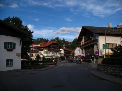
Mittelgebirgsstraße, Straße in Österreich
Location: Innsbruck
Location: Innsbruck-Land District
GPS coordinates: 47.25834,11.41127
Latest update: March 7, 2025 15:24
Ostfriedhof
654 m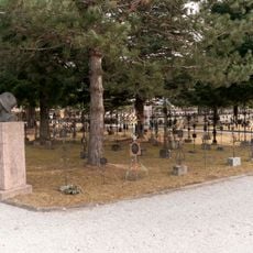
Soldatenfriedhof Amras
794 m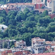
Rapoldipark
898 m
Pfarrkirche Pradl
963 m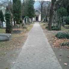
Militärfriedhof Pradl
367 m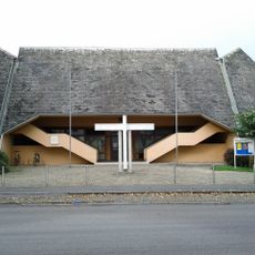
Kath. Pfarrkirche hl. Norbert
474 m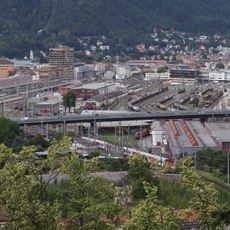
Olympiabrücke
661 m
Kraftwerk Untere Sill
953 m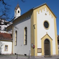
Former Carmelite church, Innsbruck
939 m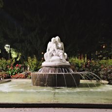
Salige-Fräulein-Brunnen
814 m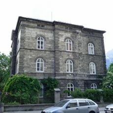
Villa Epp
751 m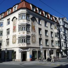
Pradler Straße 38
779 m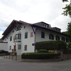
Tollingerhof
568 m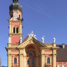
Stiftskirche Wilten
962 m
Hammerlvilla und ehem. Spielwarenfabrik
886 m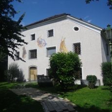
Bauernhaus Lemmenhof
839 m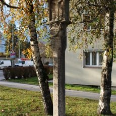
Bildstock, Getznersäule
837 m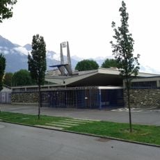
Freibad Tivoli
438 m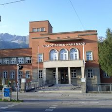
Städtisches Hallenbad
864 m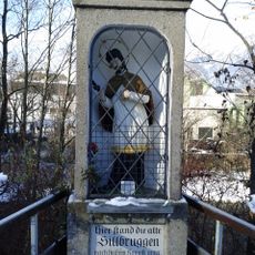
Nischenbildstock hl. Johannes Nepomuk
809 m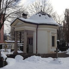
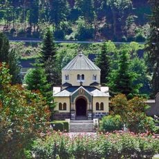
Kapelle am Militärfriedhof
364 m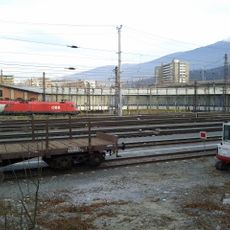
Innsbruck Hauptbahnhof, roundhouse and turntable
699 m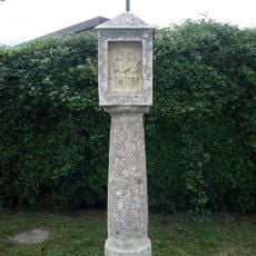
Wetterherrenbildstock
363 m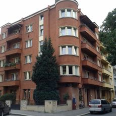
Kommunaler Wohnbau mit Umfriedung
847 m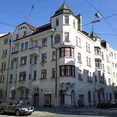
Miethaus, Wohn- und Geschäftshaus
786 m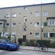
Wohnanlage „Kaufmannblock“ (6 Wohnhäuser)
455 m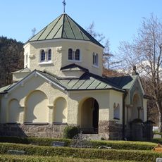
Kriegergedächtniskapelle
766 m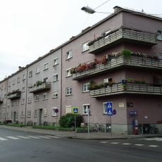
Kommunaler Wohnbau, Greinzblock
573 mVisited this place? Tap the stars to rate it and share your experience / photos with the community! Try now! You can cancel it anytime.
Discover hidden gems everywhere you go!
From secret cafés to breathtaking viewpoints, skip the crowded tourist spots and find places that match your style. Our app makes it easy with voice search, smart filtering, route optimization, and insider tips from travelers worldwide. Download now for the complete mobile experience.

A unique approach to discovering new places❞
— Le Figaro
All the places worth exploring❞
— France Info
A tailor-made excursion in just a few clicks❞
— 20 Minutes