Městská letní plovárna
Location: Týn nad Vltavou
Accessibility: Accessibile in sedia a rotelle
GPS coordinates: 49.22079,14.41739
Latest update: November 12, 2025 18:33
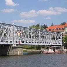
Iron bridge in Týn nad Vltavou
219 m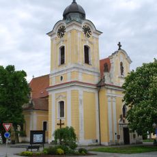
Church of Saint James
336 m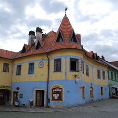
Náměstí Míru 252
339 m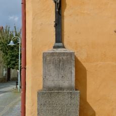
Lannův kříž
368 m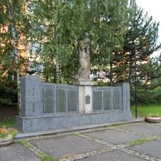
Liberation monument
241 m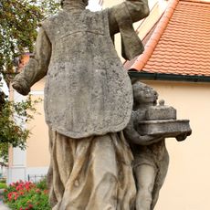
Svatý Alois
341 m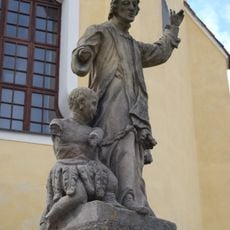
Svatý František Xaverský
345 m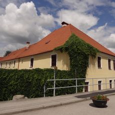
Nádražní 1
174 m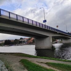
Road bridge in Týn nad Vltavou
285 m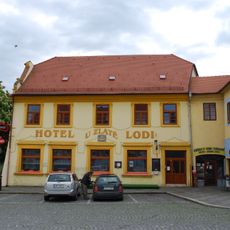
Náměstí Míru 251
326 m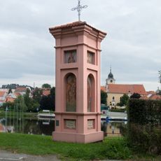
Column shrines in Malá Strana
122 m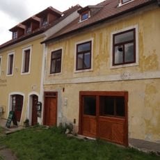
Dům čp. 223
313 m
Úzká 90
358 m
Puchmayerova 225
308 m
Puchmayerova 246
286 m
Dům čp. 224
313 m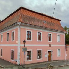
Děkanská 220
351 m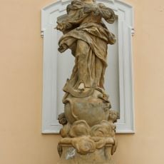
Socha Panny Marie Immaculaty u kostela svatého Jakuba v Týně nad Vltavou
351 m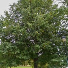
Lípa svobody 1968 (Týn nad Vltavou)
321 m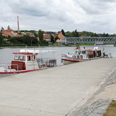
Port
237 m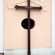
Kříž u kostela
338 m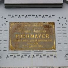
Pamětní deska Antonína Jaroslava Puchmajera
281 m
Socha koně
126 m
Work of art, statue
142 m
Lannův kříž 1824
368 m
Památník obětem obou světových válek
246 m
Statue, memorial
352 m
Wayside shrine, Christianity
346 mReviews
Visited this place? Tap the stars to rate it and share your experience / photos with the community! Try now! You can cancel it anytime.
Discover hidden gems everywhere you go!
From secret cafés to breathtaking viewpoints, skip the crowded tourist spots and find places that match your style. Our app makes it easy with voice search, smart filtering, route optimization, and insider tips from travelers worldwide. Download now for the complete mobile experience.

A unique approach to discovering new places❞
— Le Figaro
All the places worth exploring❞
— France Info
A tailor-made excursion in just a few clicks❞
— 20 Minutes