Týn nad Vltavou

Log in to your account

AroundUs is a community-driven map of interesting places, built by curious explorers like you. It grows with every review, story, and photo you share.
Connect to save your favorite spots, contribute locations, and create personalized routes.
Continue with Google
Continue with Apple
Continue with X
Continue with Facebook
Continue with email
By continuing, you accept our Terms and Conditions and our Privacy Policy
Create an account
Add to collection
Map
Suggest a change
Share

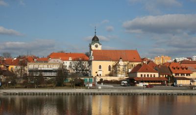
Týn nad Vltavou, Historic municipality on the Vltava River, Czech Republic.

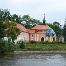
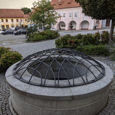
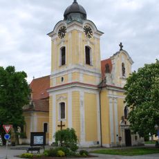
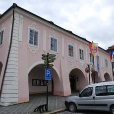
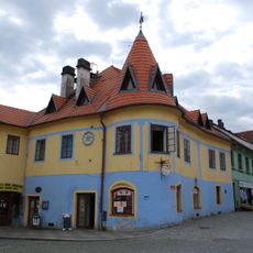
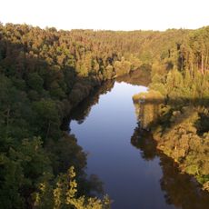
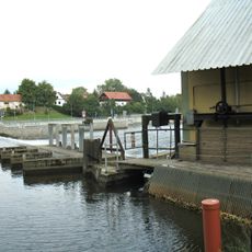
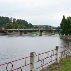
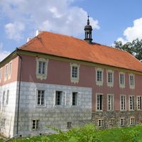
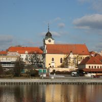
Týn nad Vltavou is a town situated on the Vltava River in the České Budějovice District, comprised of several smaller settlements. The community spreads across flat terrain along the riverbank, with historic buildings grouped around a central market area.

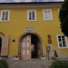
The settlement began as a trading post in the 10th century along an important route and appeared in written records for the first time in 1229. Early in the 17th century, it gained town status under Rudolf II, which strengthened its legal standing.

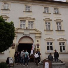
The town's puppet collection tells the story of a craft that locals have practiced for generations, with marionettes displayed in the museum reflecting the region's theatrical heritage. Art exhibitions in the municipal gallery and historic buildings show how residents continue to support contemporary artists today.

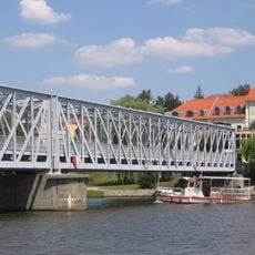
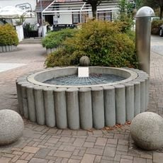
The town is easy to explore on foot, as the historic buildings and museums sit close to the river. The waterfront itself invites walks, and the flat landscape makes visiting comfortable for all ages.

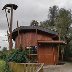
The town's open-air cinema features an unusual design with a rotating audience platform that moves to give viewers the best viewing angle. This rotating concept is extraordinarily rare in Central Europe.

Location: České Budějovice District

Location: SO ORP Týn nad Vltavou

Elevation above the sea: 362 m

Shares border with: Chrášťany, Temelín, Všemyslice, Žimutice, Hosty, Dobšice, Hodonice, Bechyně, Březnice

Email: posta@tnv.cz

Website: http://tnv.cz

GPS coordinates: 49.22348,14.42059

Latest update: December 7, 2025 20:44

Photos
Reviews

Visited this place? Tap the stars to rate it and share your experience / photos with the community! Try now! You can cancel it anytime.

« Týn nad Vltavou - Historic municipality on the Vltava River, Czech Republic » is provided by Around Us (aroundus.com). Images and texts are derived from Wikimedia project under a Creative Commons license. You are allowed to copy, distribute, and modify copies of this page, under the conditions set by the license, as long as this note is clearly visible.

Discover hidden gems everywhere you go!

From secret cafés to breathtaking viewpoints, skip the crowded tourist spots and find places that match your style. Our app makes it easy with voice search, smart filtering, route optimization, and insider tips from travelers worldwide. Download now for the complete mobile experience.

Around Us App Screenshot

A unique approach to discovering new places

Le Figaro

All the places worth exploring

France Info

A tailor-made excursion in just a few clicks

20 Minutes