České Budějovice District, Administrative district in South Bohemian Region, Czech Republic
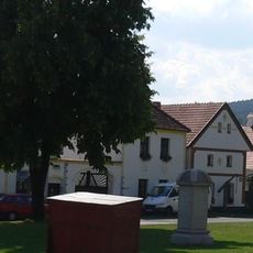
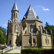
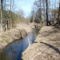
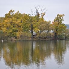
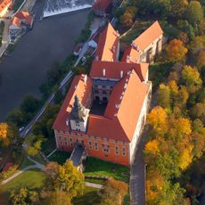
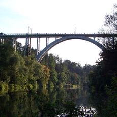
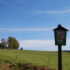
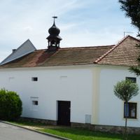
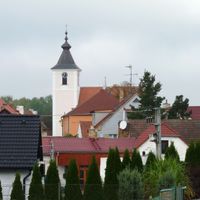
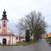
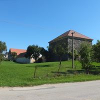
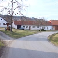
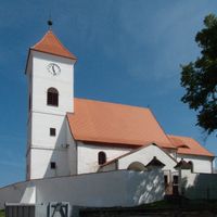
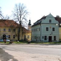
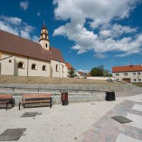
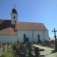
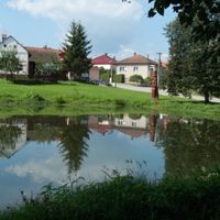
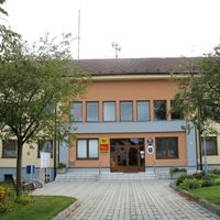
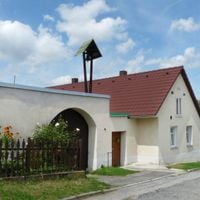
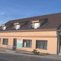
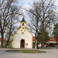
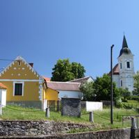
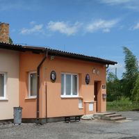
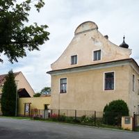
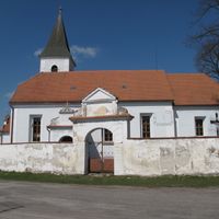
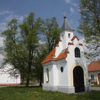
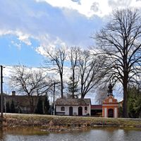
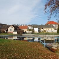
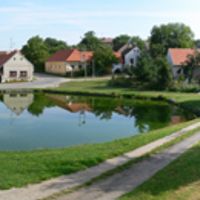
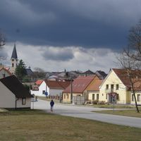
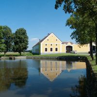
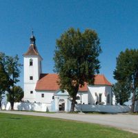
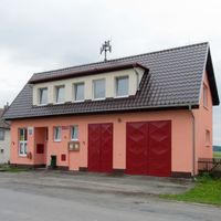
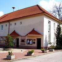
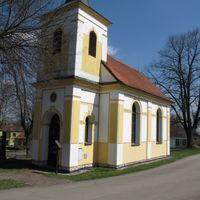
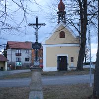
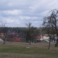
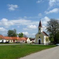
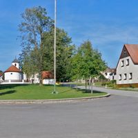
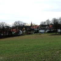
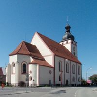
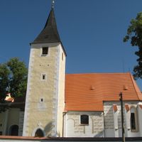
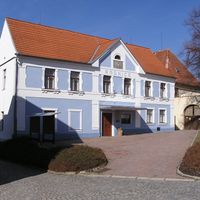
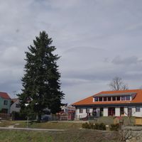
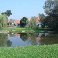
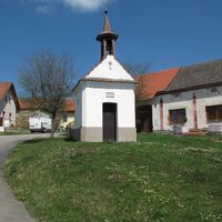
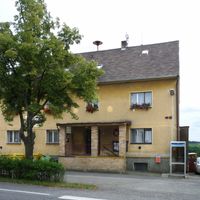
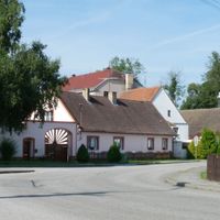
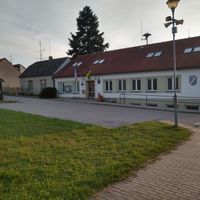
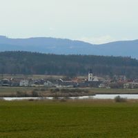
The České Budějovice district is an administrative region in the South Bohemian Region with varied landscape ranging from gentle hills to river valleys along the Vltava. The area comprises multiple municipalities and smaller towns that together form a connected administrative space.
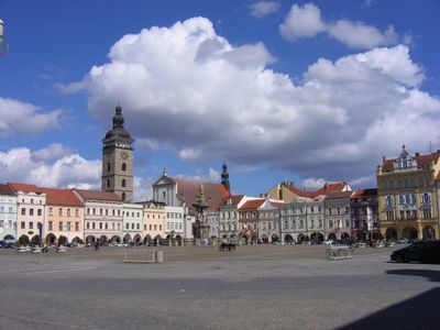
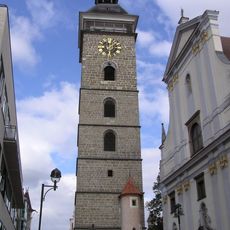
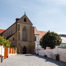
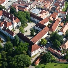
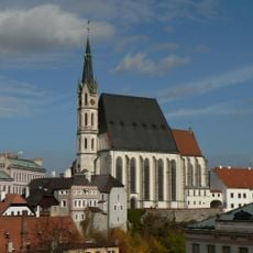
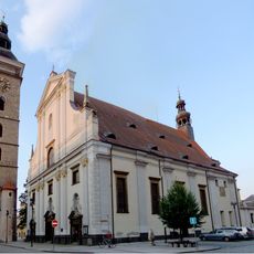
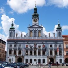
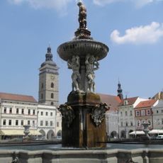
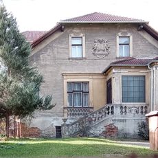
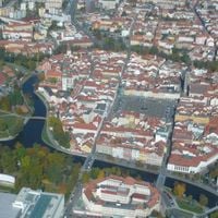
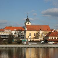
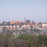
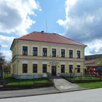
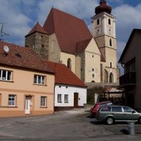
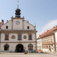
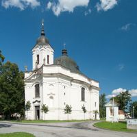
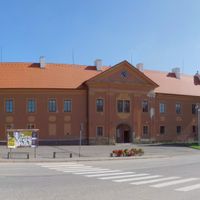
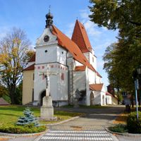
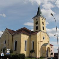
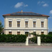
The area developed around the city of České Budějovice, which received royal status in 1265 and grew into an important commercial center in South Bohemia. This original core shaped the settlement and economic development of the entire region for centuries afterward.
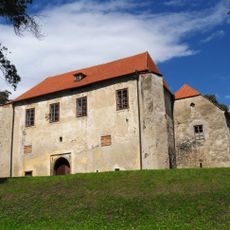
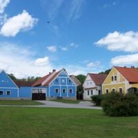
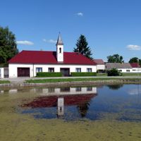
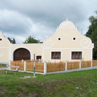
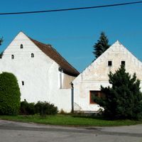
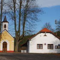
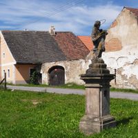
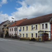
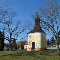
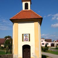
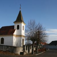
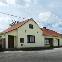
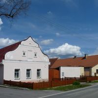
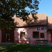
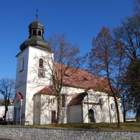
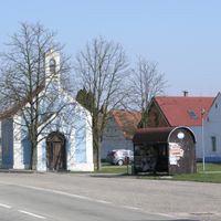
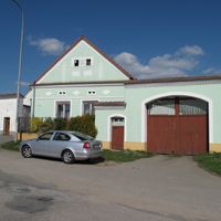
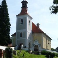
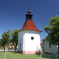
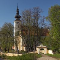
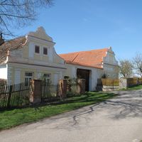
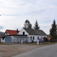
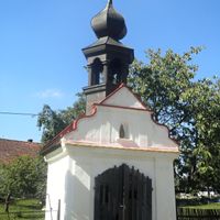
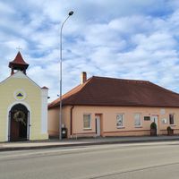
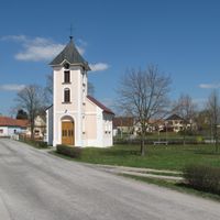
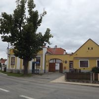
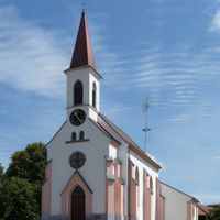
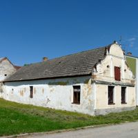
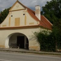
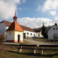
The district preserves traditional villages with rural structures, including Holašovice with its characteristic Baroque houses arranged in typical patterns. Visitors can observe how earlier generations built and organized their homes around central squares.
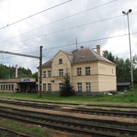
The D3 motorway connects the district northward to Prague and southward toward Austria through a network of regional roads. Those exploring various villages and towns should plan on using a car and local roads to reach smaller municipalities.
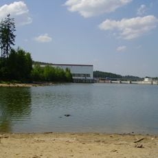
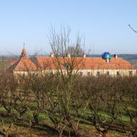
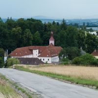
The region houses the Temelín Nuclear Power Station, a major energy facility that provides a significant portion of the country's electricity. This industrial complex stands as an unexpected contrast to the rural character and traditional buildings that otherwise define the district.
The community of curious travelers
AroundUs brings together thousands of curated places, local tips, and hidden gems, enriched daily by 60,000 contributors worldwide.