Enable Location

We need your location to show you interesting places around you

Discover nearby places

Find interesting locations and hidden gems around you

Precise directions

Get accurate directions and distances to places

Your location is never shared with other users. It's only used when you tap the location button.

Temelín

Log in to your account

Start exploring — it's free

Trusted by 62,593 travelers worldwide

Continue with Google
Continue with Apple
or

We will send you a code to connect

By continuing, you accept our Terms and Conditions and our Privacy Policy

Check your inbox

We've sent a pincode in your inbox. Please enter the code below.

Temelín, Rural municipality in České Budějovice District, Czech Republic.

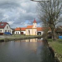
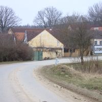
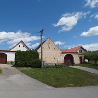
Temelín is a small municipality in the Czech landscape that spreads across hilly terrain and is crossed by numerous small fishponds. The village consists of several settlements and sits in a quiet region between the Tábor Uplands and the České Budějovice Basin.

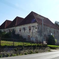
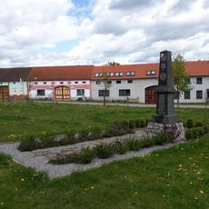
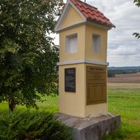
The area was first documented in writing in 1381 and remained part of a larger estate for centuries. In the 19th century it broke free from this dependency and became an independent administrative unit.

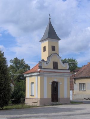
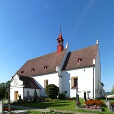
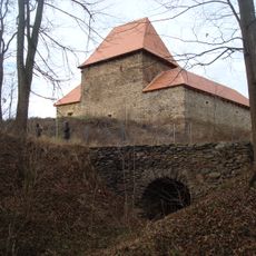
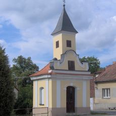
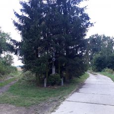
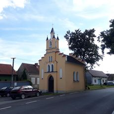
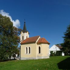
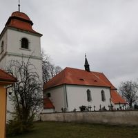
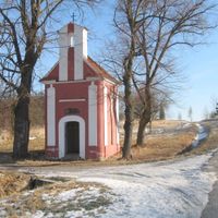
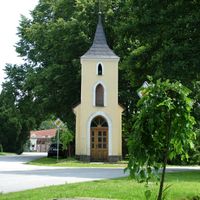
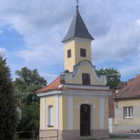
The Church of Saint Procopius shapes the local landscape with its blend of Gothic origins and Baroque additions that developed over centuries. The building reflects the long religious history of the place and draws attention as you walk through the area.

The place is easy to explore on foot since the individual settlements are manageable and the terrain remains accessible for walkers. Visitors should be prepared for the rural nature of the place and expect quiet, open landscapes.

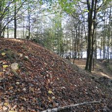
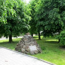
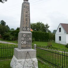
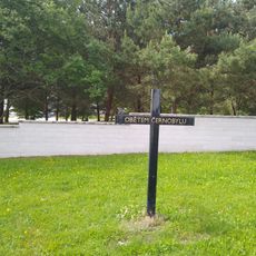
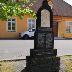
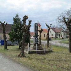
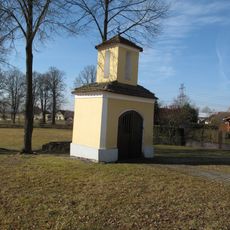
In the 1980s several original villages in the area disappeared to make way for nuclear power station construction. This dramatic change left marks on the landscape and altered the lives of many residents forever.

The community of curious travelers

AroundUs brings together thousands of curated places, local tips, and hidden gems, enriched daily by 60,000 contributors worldwide.

Start exploring
Inception
July 1, 1973
Elevation above the sea
443 m
Shares border with
Protivín, Všemyslice, Žimutice, Týn nad Vltavou, Olešník, Hluboká nad Vltavou, Dříteň
GPS coordinates
49.19292,14.34877
Latest update
December 10, 2025 15:54
« Temelín - Rural municipality in České Budějovice District, Czech Republic » is provided by Around Us (aroundus.com). Images and texts are derived from Wikimedia project under a Creative Commons license. You are allowed to copy, distribute, and modify copies of this page, under the conditions set by the license, as long as this note is clearly visible.

Discover hidden gems everywhere you go!

From secret cafés to breathtaking viewpoints, skip the crowded tourist spots and find places that match your style. Our app makes it easy with voice search, smart filtering, route optimization, and insider tips from travelers worldwide. Download now for the complete mobile experience.

Around Us App Screenshot

A unique approach to discovering new places

Le Figaro

All the places worth exploring

France Info

A tailor-made excursion in just a few clicks

20 Minutes

Around Us
Travel Guide & Maps
Download

Send to your phone

QR Code
1

Open the camera app on your mobile.

2

Point at the QR code with your camera. A notification will appear.

3

Tap the notification to open the link.