South Bohemian Region, Administrative region in southern Czech Republic
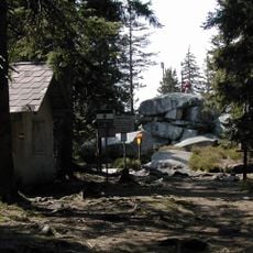
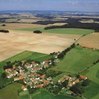
South Bohemia is an administrative division in the southern part of the Czech Republic, encompassing large forests, many lakes, and the Bohemian Forest mountains along the German and Austrian borders. The area spreads over more than 10,000 square kilometers (about 3,900 square miles) and is divided into seven districts, linked by a network of railways and roads.
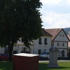
After World War II, this area went through a deep transformation when its German-speaking population left and new residents arrived from other parts of Czechoslovakia. This shift changed the demographic makeup and settlement patterns across much of the territory.
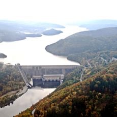
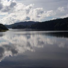
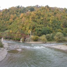
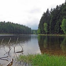
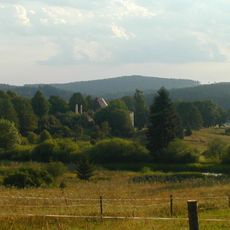
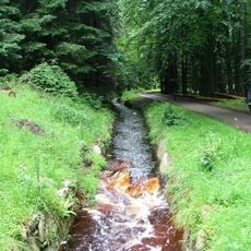
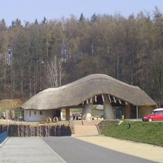
Fish farming shapes the appearance of this area, with artificial ponds dotting the flat countryside and remaining in active use today. Many of these water bodies were created during the Middle Ages and still support traditional carp production, which plays an important role during the Christmas season.
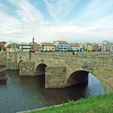
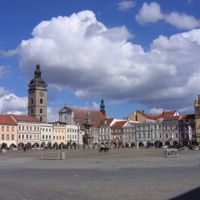
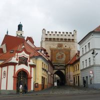
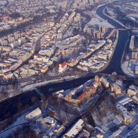
České Budějovice acts as the regional center and makes a helpful starting point for travel within the area, with train connections to most larger towns and villages. Roads and regional buses help you explore the countryside, though distances between places can be considerable.
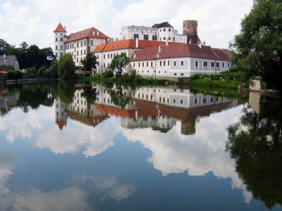
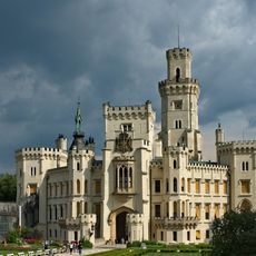
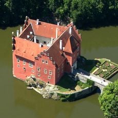
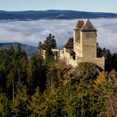
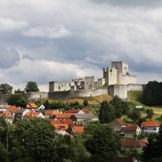
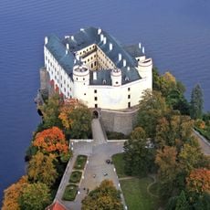
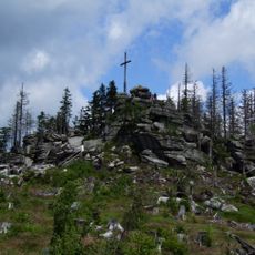
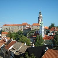
The peak of Plechý reaches 1,378 meters (4,520 feet) and marks one of the highest points in the Bohemian Forest. Červená Lhota Castle stands on a small island in the middle of an artificial lake and ranks among the most photographed structures in the country.
The community of curious travelers
AroundUs brings together thousands of curated places, local tips, and hidden gems, enriched daily by 60,000 contributors worldwide.