Orlík Reservoir, Hydroelectric reservoir in Central Bohemia, Czech Republic
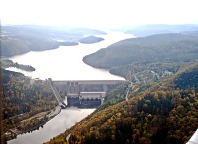
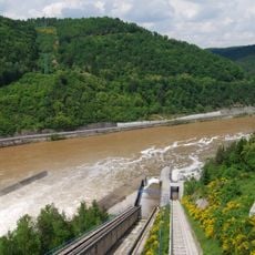
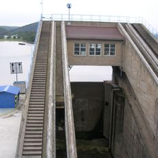
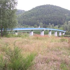
The Orlík Reservoir stretches 68 kilometers along the Vltava River and holds 720 million cubic meters of water behind a 91-meter-high concrete barrier. The water surface covers 27 square kilometers with branching inlets between forested hills.
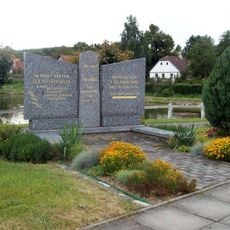
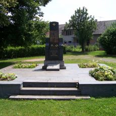
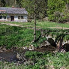
Construction of this dam started in 1954 and finished in 1961, flooding several villages in the process. The project fundamentally changed the river course and created a new landscape in Central Bohemia.
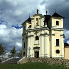
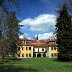
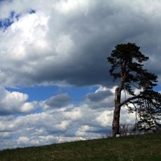
This artificial lake takes its name from the nearby castle that has overlooked the river valley for centuries. Anglers come here for the pike-perch population, while sailors use the open water between wooded shores.
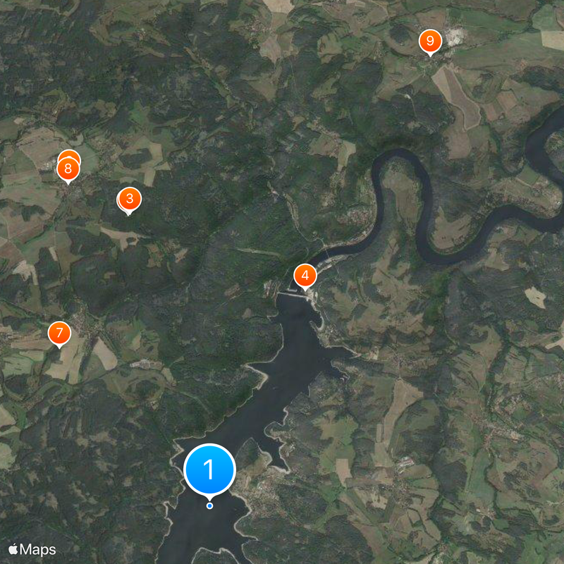
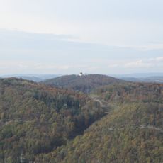
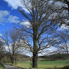
Boat rentals and campsites line the shores and are easily reached during summer months. Several swimming areas offer water access, while hiking trails connect the hilltops above the lake.
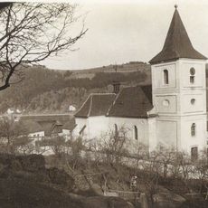
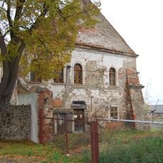
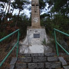
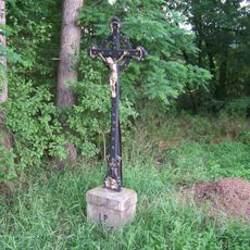
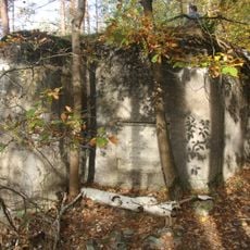
A church from the former village of Těchnice rests 60 meters below the surface. When water levels drop, foundations of submerged settlements sometimes become visible.
Location: Bohostice
Inception: 1957
Elevation above the sea: 330 m
GPS coordinates: 49.57833,14.16444
Latest update: December 14, 2025 17:43
Maková hora
4.4 km
Church of Saint John the Baptist and Our Lady of Mount Carmel at Maková hora
4.4 km
Lodní zdvihadlo Orlík
3.5 km
Kostel svatého Štěpána
380 m
Smolotely Castle
5.2 km
Jewish cemetery in Bohostice
3.2 km
Statue of John of Nepomuk in Smolotely
5.2 km
Statue of John of Nepomuk in Zduchovice
7.3 km
Boží muka
3.1 km
Boží muka před hřbitovem ve Smolotelech
4.4 km
Zemědělský dvůr čp. 15
4.2 km
Pomník padlým v Milešově
4.3 km
Pamětní deska Emy Destinové na zámečku Destinov u Milešova
4.7 km
Pomník padlým ve Smolotelech
5.1 km
Zámek Zduchovice
7.4 km
Borovice na Makové Hoře
4.4 km
Můstek přes Líšnický potok k samotě Pila ve Smolotelech
6.4 km
Pomník letce severozápadně od Hřebenů
3.4 km
Duby u Smolotel
5.3 km
Kříž severně od Smolotel
5.6 km
Lodní výtah VD Orlík
3.4 km
Kříž jižně od Hřebenů nad křižovatkou
3.4 km
Milada
4 km
131/20/A-160 Z light pillbox
5 km
Pomník padlým letcům na severním okraji Předního Chlumu
4 km
Footbridge near Solenice
4.1 km
Pamětní kříž u cesty ze Smolotel na Makovou Horu
4.3 km
Zámek Destinov
4.8 kmVisited this place? Tap the stars to rate it and share your experience / photos with the community! Try now! You can cancel it anytime.
Discover hidden gems everywhere you go!
From secret cafés to breathtaking viewpoints, skip the crowded tourist spots and find places that match your style. Our app makes it easy with voice search, smart filtering, route optimization, and insider tips from travelers worldwide. Download now for the complete mobile experience.
A unique approach to discovering new places❞
— Le Figaro
All the places worth exploring❞
— France Info
A tailor-made excursion in just a few clicks❞
— 20 Minutes