Enable Location

We need your location to show you interesting places around you

Discover nearby places

Find interesting locations and hidden gems around you

Precise directions

Get accurate directions and distances to places

Your location is never shared with other users. It's only used when you tap the location button.

Mont Vial

Log in to your account

Start exploring — it's free

Trusted by 62,040 travelers worldwide

Continue with Google
Continue with Apple
or

We will send you a code to connect

By continuing, you accept our Terms and Conditions and our Privacy Policy

Check your inbox

We've sent a pincode in your inbox. Please enter the code below.

Mont Vial

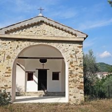
Mont Vial, Mountain summit near Tourette-du-Château, France

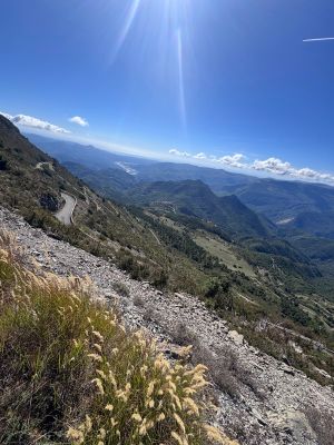
Mont Vial is a summit that rises to 1549 meters with steep sides carved by a winding road full of hairpin turns. A television tower stands at the peak and dominates the skyline from many angles.

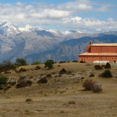
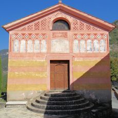
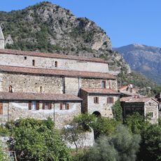
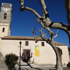
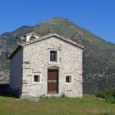
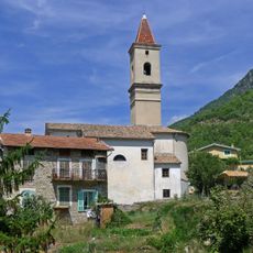
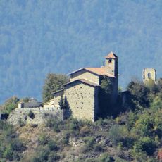
The mountain sits where three major valleys meet - Tinée, Esteron, and Var - along ancient trade routes that once linked medieval settlements. This crossroads location made it strategically important for centuries in Alpine commerce.

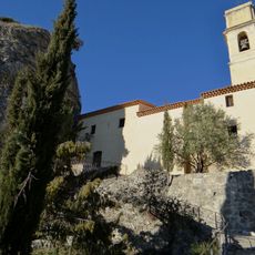
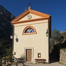
The television tower at the summit shows how mountain use has changed over time. Where neighboring peaks once held religious buildings, this one now hosts broadcasting infrastructure that serves the surrounding region.

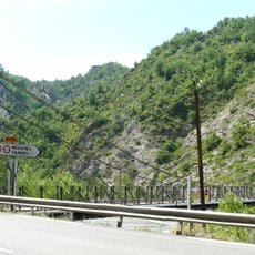
The road starts from Sigale and winds upward for about 7 kilometers with numerous sharp turns that demand careful driving. Weather conditions can change quickly at this elevation, so check conditions before heading up.

On clear days following Mistral winds, visitors can see Nice, Monaco, Cannes, and even Corsica island from the summit. This exceptional visibility across such a wide area is something many travelers miss.

The community of curious travelers

AroundUs brings together thousands of curated places, local tips, and hidden gems, enriched daily by 60,000 contributors worldwide.

Start exploring
Location
Tourette-du-Château
Address
V4WX+GP, 06830 Tourette-du-Château, France
GPS coordinates
43.89635,7.14925
Latest update
December 15, 2025 13:21
« Mont Vial - Mountain summit near Tourette-du-Château, France » is provided by Around Us (aroundus.com). Images and texts are derived from Wikimedia project under a Creative Commons license. You are allowed to copy, distribute, and modify copies of this page, under the conditions set by the license, as long as this note is clearly visible.

Discover hidden gems everywhere you go!

From secret cafés to breathtaking viewpoints, skip the crowded tourist spots and find places that match your style. Our app makes it easy with voice search, smart filtering, route optimization, and insider tips from travelers worldwide. Download now for the complete mobile experience.

Around Us App Screenshot

A unique approach to discovering new places

Le Figaro

All the places worth exploring

France Info

A tailor-made excursion in just a few clicks

20 Minutes

Around Us
Travel Guide & Maps
Download

Send to your phone

QR Code
1

Open the camera app on your mobile.

2

Point at the QR code with your camera. A notification will appear.

3

Tap the notification to open the link.