
Arcola Tent
Location: London Borough of Hackney
GPS coordinates: 51.54654,-0.07432
Latest update: April 17, 2025 12:31
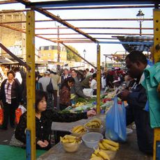
Ridley Road Market
200 m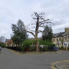
Fassett Square
589 m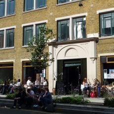
Cafe Oto
48 m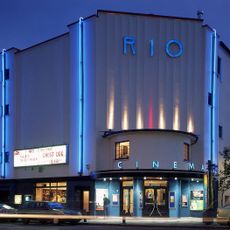
Rio Cinema
352 m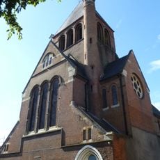
Holy Trinity Church, Dalston
254 m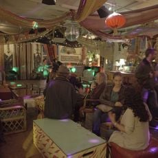
Passing Clouds
487 m
Shacklewell Lane Mosque
485 m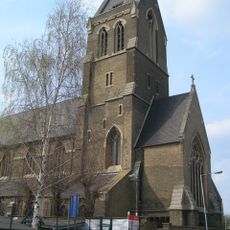
St Matthias Church, Hackney
752 m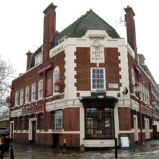
Army and Navy
689 m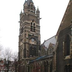
Church of St Mark
416 m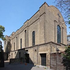
Church of St Barnabas
735 m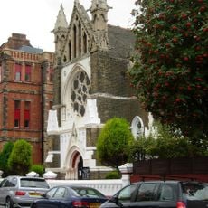
Hamburg Lutheran Church
465 m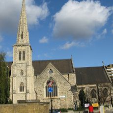
Church of St Jude and St Paul
477 m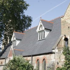
St Marks Church Hall And Vergers House
428 m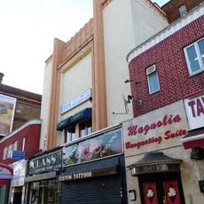
ABC Stoke Newington
512 m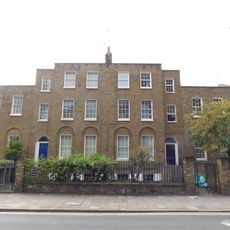
182 And 184, Dalston Lane E8
703 m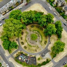
De Beauvoir Square
663 m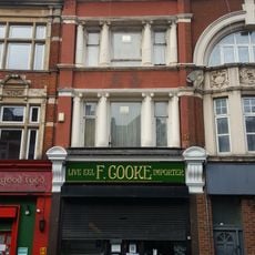
F Cooke's Eel, Pie And Mash Shop
171 m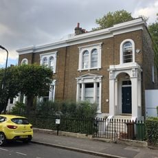
13-16, Albion Square E8
740 m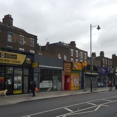
546-558, Kingsland Road
203 m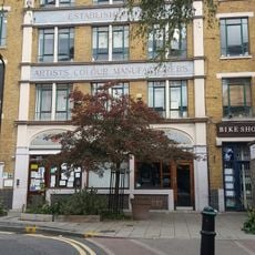
Post At Outer Corner Of Number 20 Ashwin Street
71 m
19 And 20, Albion Square E8
751 m
17 And 18, Albion Square E8
744 m
Haggerston Road School War Memorial
736 m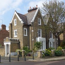
13-20, De Beauvoir Square N1
677 m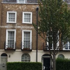
358 And 360, Kingsland Road
697 m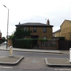
186, Dalston Lane E8
729 m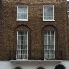
362-368, Kingsland Road
682 mReviews
Visited this place? Tap the stars to rate it and share your experience / photos with the community! Try now! You can cancel it anytime.
Discover hidden gems everywhere you go!
From secret cafés to breathtaking viewpoints, skip the crowded tourist spots and find places that match your style. Our app makes it easy with voice search, smart filtering, route optimization, and insider tips from travelers worldwide. Download now for the complete mobile experience.

A unique approach to discovering new places❞
— Le Figaro
All the places worth exploring❞
— France Info
A tailor-made excursion in just a few clicks❞
— 20 Minutes