Градска галерија
Location: Мајданпек
Location: Општина Мајданпек
GPS coordinates: 44.42242,21.93537
Latest update: November 24, 2025 11:10
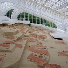
Lepenski Vir
16.6 km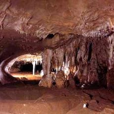
Rajko's Cave
2.5 km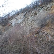
Rudna Glava
16.2 km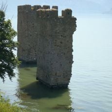
Tricule Fortress
17.7 km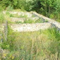
Kraku Lu Jordan
11 km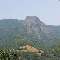
Trescovat
18.5 km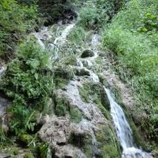
Строги природни резерват Фељешана
9.8 km
Eko Kapetan mišin breg
14.7 km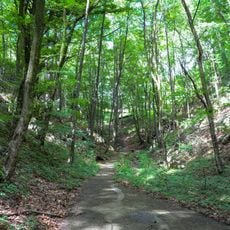
Strogi rezervat prirode Mustafa
6.8 km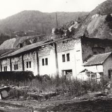
Vieille fonderie à Majdanpek
6.5 km
Čuka Gorunje
15.9 km
Locul fosilifer Svinița
17 km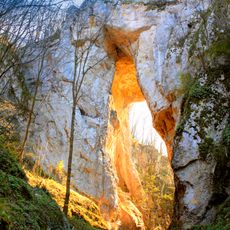
Ваља прераст
8.1 km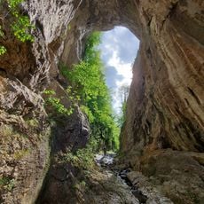
Valja Prerast
8.1 km
Tatarski Vis
13.4 km
Kraku Šerponj
18.4 km
Markucin Rt
12.1 km
Dordino
17.5 km
Споменик природе Шупља стена
8.1 km
Мамут
18 km
Scenic viewpoint
18.4 km
Scenic viewpoint
18.2 km
24/7, scenic viewpoint, tower, Observation tower, Lattice tower
15.2 km
Scenic viewpoint
13 km
Scenic viewpoint
13.5 km
Tricule Fortress
17.7 km
Waterfall
9.6 km
Waterfall
9.6 kmReviews
Visited this place? Tap the stars to rate it and share your experience / photos with the community! Try now! You can cancel it anytime.
Discover hidden gems everywhere you go!
From secret cafés to breathtaking viewpoints, skip the crowded tourist spots and find places that match your style. Our app makes it easy with voice search, smart filtering, route optimization, and insider tips from travelers worldwide. Download now for the complete mobile experience.

A unique approach to discovering new places❞
— Le Figaro
All the places worth exploring❞
— France Info
A tailor-made excursion in just a few clicks❞
— 20 Minutes