Freibad Itter
Location: Itter
Website: https://www.kitzbueheler-alpen.com/de/hosa/so/baden/itter.html
Website: https://kitzbueheler-alpen.com/de/hosa/so/baden/itter.html
GPS coordinates: 47.47265,12.14680
Latest update: November 29, 2024 23:51
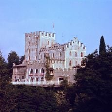
Itter Castle
572 m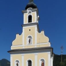
Saint Joseph Church (Itter, Tyrol)
400 m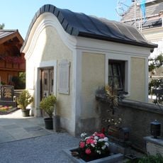
Friedhof samt Totenkapelle/Kriegerdenkmal
410 m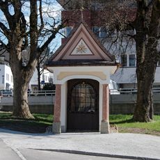
Praderkapelle
2.6 km
Hofkapelle hl. Antonius, Oberlaiming
936 m
Burgstall Luech
2.1 km
Einhof Länger
2 km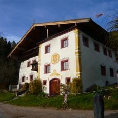
Bauernhaus Larchhof/Haus Oberluech, ehem. Poststation
1.9 km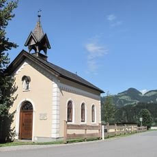
Hauser Kapelle, Wörgl
1.6 km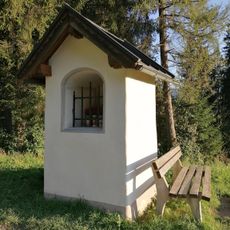
Lindkapelle Ed
1.2 km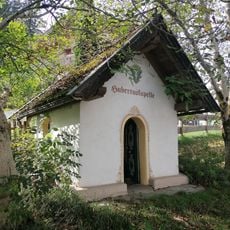
Pinnersdorferkapelle
2.6 km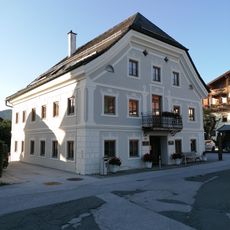
Gemeindeamt, ehem. Krämerhaus
372 m
Felsenbrunnen Itter
373 m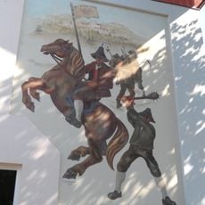
Volksschule Itter mit Wandmalerei
409 m
Alte Schule Itter
461 m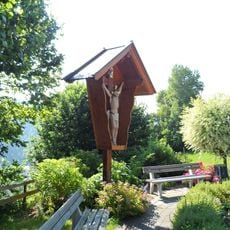
Kruzifix
599 m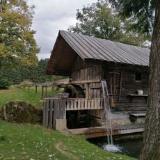
Getreidemühle Mühltal
1.3 km
Musikpavillon Itter
436 m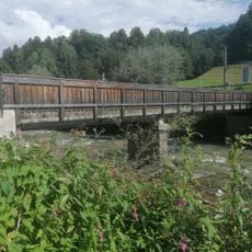
Sonnwiesenbrücke
1.6 km
Hachakapelle
1.6 km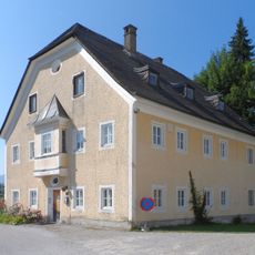
Widum
421 m
Burstall Werberg
1.7 km
Marienbildstock Laiming
479 m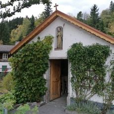
Plonerkapelle
1.4 km
Wehrburg
1.7 km
Wayside cross
597 m
Wayside cross
2.5 km
Wayside cross
1.1 kmReviews
Visited this place? Tap the stars to rate it and share your experience / photos with the community! Try now! You can cancel it anytime.
Discover hidden gems everywhere you go!
From secret cafés to breathtaking viewpoints, skip the crowded tourist spots and find places that match your style. Our app makes it easy with voice search, smart filtering, route optimization, and insider tips from travelers worldwide. Download now for the complete mobile experience.

A unique approach to discovering new places❞
— Le Figaro
All the places worth exploring❞
— France Info
A tailor-made excursion in just a few clicks❞
— 20 Minutes