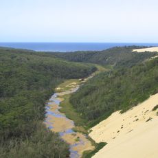
Nadgee Beach
Location: Nadgee
Location: Bega Valley Shire Council
GPS coordinates: -37.43965,149.96670
Latest update: November 30, 2024 21:25
Croajingolong National Park
10.1 km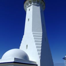
Green Cape Lighthouse
21.1 km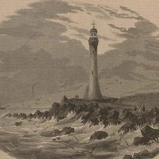
Gabo Island Lighthouse
15 km
Cape Howe Marine National Park
11.2 km
Newtons Beach
8.4 km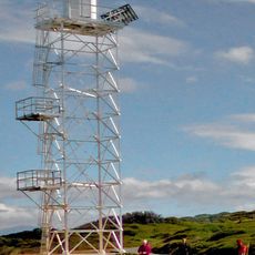
Green Cape Lighthouse
21.1 km
Jane Spiers Beach
10.2 km
Wonboyn Beach
19.5 km
Nadgee Beach
880 m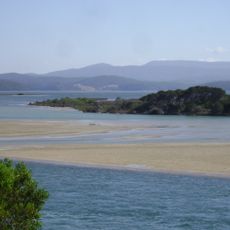
Mallacoota tidal inlet
21.9 km
Gabo-Tullabergo
15 km
City Rock
21 km
Shipwreck SS Riverina 1926
13.5 km
Mallacoota Lookout
12.4 km
Pioneers Cemetery
16.6 km
Old Mallacoota
18.2 km
Ruins
18.5 km
Wonboyn Beach
19.3 km
Jane Spiers North
12.2 km
1568 Km
14.1 km
Ly-Ee-Moon Memorial
21.1 km
Sea caves
9 km
Scenic viewpoint
21.1 km
Memorial, commemorative plaque
21.1 km
Newtons Beach
8.1 km
Osprey Lookout
661 m
Disaster Bay Lookout
22.8 km
Scenic viewpoint
23 kmReviews
Visited this place? Tap the stars to rate it and share your experience / photos with the community! Try now! You can cancel it anytime.
Discover hidden gems everywhere you go!
From secret cafés to breathtaking viewpoints, skip the crowded tourist spots and find places that match your style. Our app makes it easy with voice search, smart filtering, route optimization, and insider tips from travelers worldwide. Download now for the complete mobile experience.

A unique approach to discovering new places❞
— Le Figaro
All the places worth exploring❞
— France Info
A tailor-made excursion in just a few clicks❞
— 20 Minutes