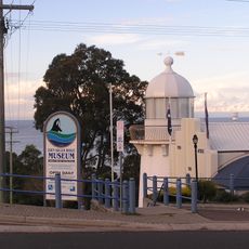
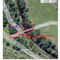
Bega Valley Shire Council, Administrative division in New South Wales, Australia.
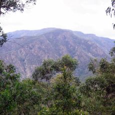
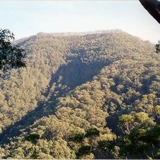
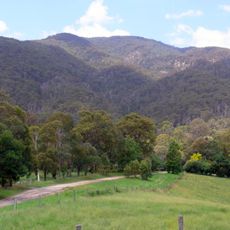
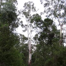
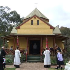
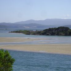
Bega Valley Shire is an administrative area in New South Wales that stretches from the coast into inland regions, containing diverse landscapes and multiple communities. The territory brings together towns, farmland, and natural areas in a single local government zone.
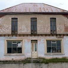
The creation of the council marked an important step in managing the region, bringing together Indigenous lands and colonial settlements under one local authority. This combination of different areas shaped how the region developed afterward.
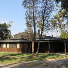
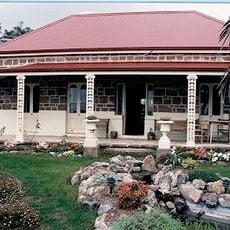
The region is deeply connected to farming, especially through dairy production and the making of nationally recognized cheese. These traditions shape how the landscape looks and how people live their daily lives.
The main council office is located in Bega, where residents can access services like planning approvals, waste management, and community programs. It helps to check opening times and ask about the specific locations of different services when you arrive.
The council gained recognition for its strong governance practices and active community engagement efforts. This award highlights how local institutions can stand out through dedicated and inclusive work.
The community of curious travelers
AroundUs brings together thousands of curated places, local tips, and hidden gems, enriched daily by 60,000 contributors worldwide.