Croajingolong National Park, Nature reserve in East Gippsland, Australia.
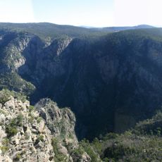
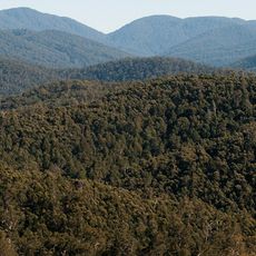
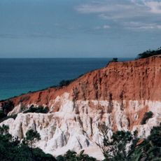
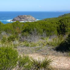
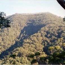
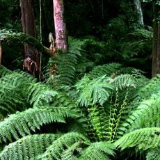
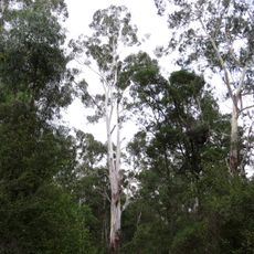
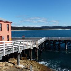
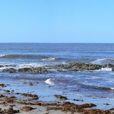
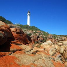
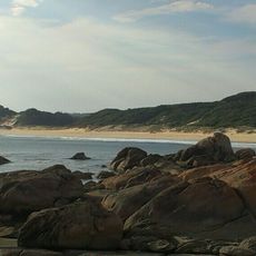
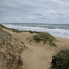
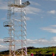
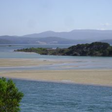
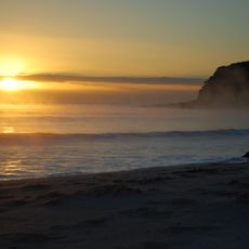
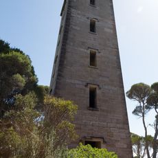
Croajingolong National Park stretches along Victoria's coast with a mix of sandy beaches, eucalyptus forests, and rocky headlands facing the Tasman Sea. The area holds sheltered bays, forested hills, and a rugged shoreline with several different environments to explore.
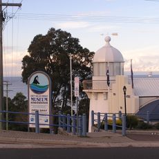
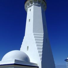
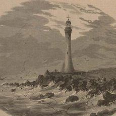
James Cook sighted the coast at Point Hicks in 1770, naming it after Lieutenant Zachary Hickes. George Bass landed at the Wingan River mouth during a storm in 1797 and explored the area. The first white settlers arrived in 1842, displacing Aboriginal people who had lived there for 17,000 years. The park was declared in 1979 and became a UNESCO Biosphere Reserve in 1977.
The name Croajingolong comes from the Krauatungalung words galung, meaning "belonging to", and kraua, meaning "east". The Krowathunkooloong people lived in this part of Victoria for 17,000 years, hunting, gathering and fishing along the coast before settlers displaced them from the 1840s.
The park has several camping areas at different locations that provide facilities for visitors. It helps to check conditions before your visit, as some areas may have varying accessibility depending on the season.
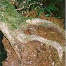
The eastern section lies within the Nadgee to Mallacoota Inlet Important Bird Area, identified by BirdLife International for its eastern bristlebirds and pilotbirds. The park also records almost 1,000 native plant species and 315 animal species.
The community of curious travelers
AroundUs brings together thousands of curated places, local tips, and hidden gems, enriched daily by 93,894 contributors worldwide.