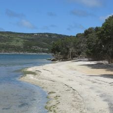
Pincer Point
Location: Shire Of Esperance
GPS coordinates: -33.86283,120.89153
Latest update: November 30, 2024 21:20
Stokes National Park
17.2 km
Munglinup Beach
9.6 km
Moir Homestead Ruins
26.6 km
Pincer Point (E 5)
9.9 km
Skippy Rock
13.7 km
Munglinup (E 3)
5.8 km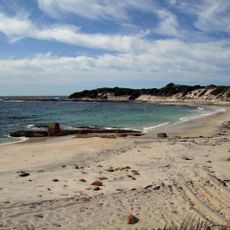
S
6.7 km
Munglinup (E 2)
7.2 km
Munglinup (E 1)
7.9 km
Pincer Point (E 4)
8.5 km
Munglinup Beach (W 1)
9.1 km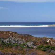
Oldfield Estuary
9.3 km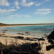
NNW
5 km
Pincer Point (W 3)
3.9 km
Margaret Cove
11 km
Torradup River (W)
12.6 km
Pincer Point (E 1)
5.6 km
Skippy Rocks (W 1)
14.8 km
Pincer Point
2.9 km
Munglinup Golf Club
18.6 km
Dunster Castle (2)
20 km
Parriup 1
20.8 km
Scenic viewpoint
23.4 km
Scenic viewpoint
23.4 km
Stokes Inlet (E)
24.5 km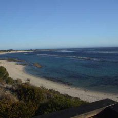
Shoal Cape Reef
25.4 km
Moirs Homestead
26.5 km
Ruins
26.5 kmReviews
Visited this place? Tap the stars to rate it and share your experience / photos with the community! Try now! You can cancel it anytime.
Discover hidden gems everywhere you go!
From secret cafés to breathtaking viewpoints, skip the crowded tourist spots and find places that match your style. Our app makes it easy with voice search, smart filtering, route optimization, and insider tips from travelers worldwide. Download now for the complete mobile experience.

A unique approach to discovering new places❞
— Le Figaro
All the places worth exploring❞
— France Info
A tailor-made excursion in just a few clicks❞
— 20 Minutes