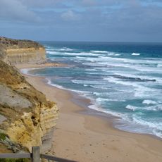
Gellibrand East
Location: Gellibrand Lower
Location: Shire of Corangamite
GPS coordinates: -38.72408,143.17580
Latest update: November 30, 2024 21:23
Gibson Steps
8.3 km
Gibson Beach
8.4 km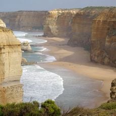
Clifton Beach
6.8 km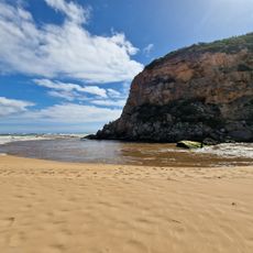
Princetown Beach
2.4 km
Rivernook Beach
1.1 km
Moonlight Beach
3.7 km
Wreck Beach
4.7 km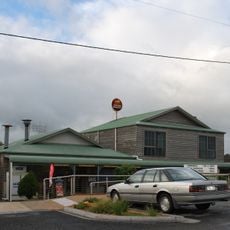
Princetown Twelve Apostles Tavern & Cafe
3.8 km
Former Wattle Hill Hotel
7.9 km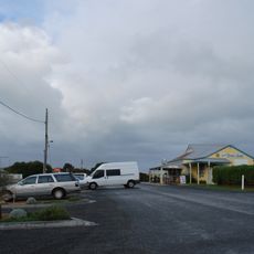
Princetown
3.8 km
Glenample Homestead
7.9 km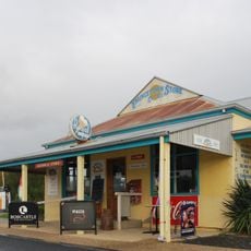
Princetown Store
3.8 km
Marie Gabrielle Anchor
4.2 km
Gellibrand East
707 m
Shipwreck Beach
4.7 km
Scenic viewpoint
3.7 km
Brown Hill
5.3 km
Gables Lookout
5.5 km
Scenic viewpoint
2.2 km
Scenic viewpoint
7.2 km
Walk Victoria's Icons Lookout
7.7 km
Fiji Shipwreck Memorial Stone
3.8 km
Anne and Geg Lookout
691 m
Gibson Beach
8.1 km
Scenic viewpoint
8.2 km
Gibson Steps
8.3 km
Gellibrand East Beach
328 m
Scenic viewpoint
238 mReviews
Visited this place? Tap the stars to rate it and share your experience / photos with the community! Try now! You can cancel it anytime.
Discover hidden gems everywhere you go!
From secret cafés to breathtaking viewpoints, skip the crowded tourist spots and find places that match your style. Our app makes it easy with voice search, smart filtering, route optimization, and insider tips from travelers worldwide. Download now for the complete mobile experience.

A unique approach to discovering new places❞
— Le Figaro
All the places worth exploring❞
— France Info
A tailor-made excursion in just a few clicks❞
— 20 Minutes