Plage du Vaugamont
Location: France métropolitaine
GPS coordinates: 48.65944,-2.29369
Latest update: November 17, 2025 00:11
Cap Fréhel
3.2 km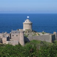
Fort-la-Latte
1.2 km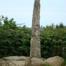
Doigt de Gargantua
717 m
Vieux calvaire de Plévenon
2.6 km
Allée couverte du Tertre de l'église
3.1 km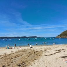
Plage de la Fresnaye
2.9 km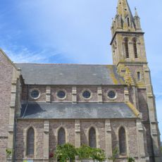
Église Saint-Pierre de Plévenon
2.9 km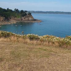
Plage de la Mare
3.2 km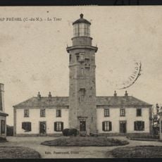
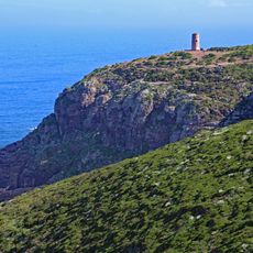
Cap Fréhel lighthouse
3.3 km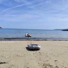
Plage de Château Serein
2.3 km
Chapelle Saint-Michel de Fort-la-Latte
1.2 km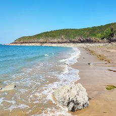
Plage de la Pissotte
2.7 km
Scenic viewpoint
1.5 km
Scenic viewpoint
2.6 km
Scenic viewpoint
1 km
Monument aux Morts
2.8 km
Scenic viewpoint
880 m
Scenic viewpoint
952 m
Scenic viewpoint
876 m
Wayside cross
2.7 km
Ruins
2 km
Wayside cross
2.4 km
Wayside cross, Christianity, Catholic church building
2.8 km
Catholic church building, wayside cross, Christianity
2.6 km
Catholic church building, wayside cross, Christianity
1.4 km
Cannon
1.3 km
Memorial, commemorative plaque
3.2 km
Lavoir
606 mReviews
Visited this place? Tap the stars to rate it and share your experience / photos with the community! Try now! You can cancel it anytime.
Discover hidden gems everywhere you go!
From secret cafés to breathtaking viewpoints, skip the crowded tourist spots and find places that match your style. Our app makes it easy with voice search, smart filtering, route optimization, and insider tips from travelers worldwide. Download now for the complete mobile experience.

A unique approach to discovering new places❞
— Le Figaro
All the places worth exploring❞
— France Info
A tailor-made excursion in just a few clicks❞
— 20 Minutes