An aod hir
Location: France métropolitaine
GPS coordinates: 48.60302,-4.58876
Latest update: November 18, 2025 02:24
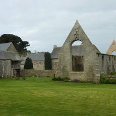
Abbaye Notre-Dame des Anges
1.6 km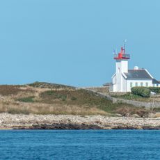
Phare de l'Île Wrac'h
1.6 km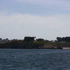
Fort Cézon
498 m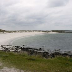
Plage de Kloukouri
1.2 km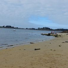
Plage de la Baie des Anges
1.5 km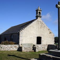
Chapelle Sainte-Marguerite
998 m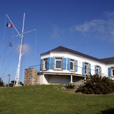
Sémaphore de l'Aber Wrac'h
1.8 km
Scenic viewpoint
1.6 km
Sémaphore
1.8 km
Route des Anges
1.5 km
Corniche de l'Aber Wrac'h
1.4 km
Plage de Porsecave
1.2 km
Scenic viewpoint
1.8 km
Porzh Mateano
353 m
Fourn bezhina
1 km
La Grève Blanche
1.1 km
An aod verr
129 m
L'Oeil de Pierre Chanteau
1.6 km
L'Oeil de Pierre Chanteau
1.5 km
Work of art, sculpture
1.6 km
Semaphore de l'Aber-Wrac'h
1.8 km
Porzh Mateano
348 m
Mémorial de la Libération
1.2 km
Wayside cross
1.3 km
Menhir de Quistillic
357 m
Archaeological site
1.8 km
Wayside cross, Christianity, Catholic church building
1.8 km
Four à Goémon
376 mReviews
Visited this place? Tap the stars to rate it and share your experience / photos with the community! Try now! You can cancel it anytime.
Discover hidden gems everywhere you go!
From secret cafés to breathtaking viewpoints, skip the crowded tourist spots and find places that match your style. Our app makes it easy with voice search, smart filtering, route optimization, and insider tips from travelers worldwide. Download now for the complete mobile experience.

A unique approach to discovering new places❞
— Le Figaro
All the places worth exploring❞
— France Info
A tailor-made excursion in just a few clicks❞
— 20 Minutes