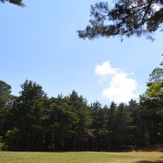
Playa El Amatal
Location: Municipio de San Antonio Pajonal
GPS coordinates: 14.23761,-89.52356
Latest update: November 16, 2025 18:56
Montecristo National Park
22.6 km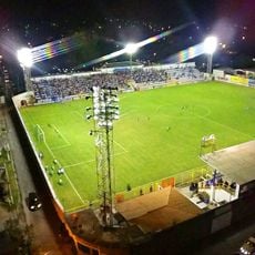
Estadio Jorge Calero Suárez
13.2 km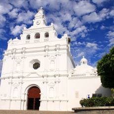
Iglesia de San Pedro Apóstol
13.4 km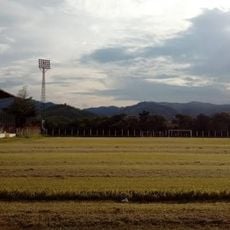
Estadio La Asunción
23.4 km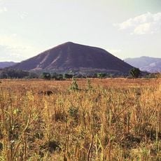
Cerro Singüil
23.6 km
Guajoyo hydroelectric power station
5.9 km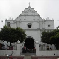
Iglesia del Calvario
13.7 km
Puente El Socorro
12.9 km
Volcán Las Víboras
22.1 km
Antigua Capilla El Socorro
12.7 km
Sitio Arqueológico Cerro de Garcia
22.1 km
Caserio las conchas
7.7 km
Foto Estudio Montecristo
13.3 km
Lago de Guija
7.6 km
Parque Corazones de Vida
8.1 km
Petroglyphs
4.3 km
Las Figuras
4.3 km
Apuzunga
7.2 km
Balneario Don Elias
7.5 km
Foto Arte Estudio
13.5 km
Montecristo trifinio national park
19 km
Playa El Tablón
4.5 km
Playa El Tamarindo
4.7 km
Playa de Azacualpa
4.4 km
Mural, Work of art
7.7 km
Work of art, statue
13.3 km
Scenic viewpoint
19.2 km
Cascada Arcoiris
21.9 kmReviews
Visited this place? Tap the stars to rate it and share your experience / photos with the community! Try now! You can cancel it anytime.
Discover hidden gems everywhere you go!
From secret cafés to breathtaking viewpoints, skip the crowded tourist spots and find places that match your style. Our app makes it easy with voice search, smart filtering, route optimization, and insider tips from travelers worldwide. Download now for the complete mobile experience.

A unique approach to discovering new places❞
— Le Figaro
All the places worth exploring❞
— France Info
A tailor-made excursion in just a few clicks❞
— 20 Minutes