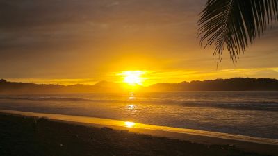
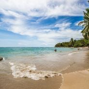
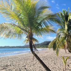
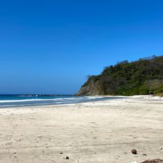
Samara Beach
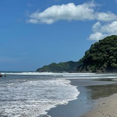
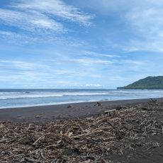
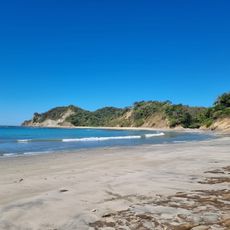
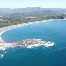
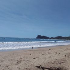
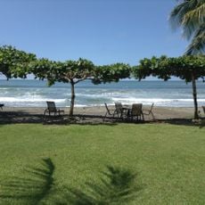
Samara Beach is a sandy shore in Guanacaste with soft sand and shallow, calm waters protected by an offshore coral reef. The beach stretches for several kilometers, lined with tall palm trees and backed by a walkable town with shops, restaurants, and beach bars within easy reach of the sand.
The beach was long a resting place for the Chorotega indigenous people, who gave the area its name. Over time, Samara became a favorite destination for adventurers and those seeking peace, drawn to its simple life and natural coastal beauty.
The name Samara comes from the Chorotega indigenous people and means "place to rest". Today, people from around the world gather here to practice yoga, learn Spanish, or escape their fast-paced lives, creating a welcoming and open-minded community that reflects the laid-back feel of the town.
The best time to visit is December to April when the weather is dry and sunny. It is warm year-round with temperatures around 86-89 degrees Fahrenheit (30 degrees Celsius), but rain in the May to November season usually falls as afternoon showers, leaving mornings clear for activity.
Horses roam freely along the shoreline and are often seen wading in the shallow water, a sight that embodies the tranquil, natural feel of the place. This daily occurrence creates memorable moments for visitors seeking to experience wildlife in its natural state.
The community of curious travelers
AroundUs brings together thousands of curated places, local tips, and hidden gems, enriched daily by 60,000 contributors worldwide.