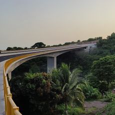
Playa El Majahual
Location: Municipio de Puerto de La Libertad
GPS coordinates: 13.48812,-89.36354
Latest update: November 24, 2025 02:28
Playa El Tunco
2.1 km
Playa El Tunco
2 km
Apaneca-Llamatepec
4.2 km
Playa El Majagual
59 m
Playa El Sunzal
3.1 km
Playa Ticuisiapa
8.9 km
Playa El Palmarcito
5.6 km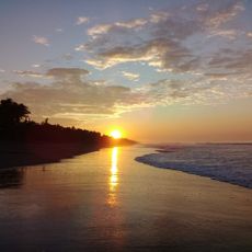
Playa San Diego
11 km
Playa Río Mar
10.7 km
Playa de Conchalío
1.5 km
Playa del Obispo
5.5 km
Playa Las Flores
6.6 km
Punta Roca
1.2 km
Playa el Sunzal
2.9 km
Parque de Diversiones "Sunset Park"
4.6 km
Sunset Park, La Libertad
4.6 km
Playa Las Flores
7 km
Playa K59
11.9 km
Playa Las Flores
6.9 km
Centro Obrero del MTPS
3 km
Playa El Tunco
2.1 km
Playa La Paz
4.6 km
Playa El Obispo
5.2 km
Playa El Palmarcito
6.3 km
Cascada de San Antonio
8.1 km
Salto
8.2 km
Waterfall
8.8 km
Waterfall
8.8 kmReviews
Visited this place? Tap the stars to rate it and share your experience / photos with the community! Try now! You can cancel it anytime.
Discover hidden gems everywhere you go!
From secret cafés to breathtaking viewpoints, skip the crowded tourist spots and find places that match your style. Our app makes it easy with voice search, smart filtering, route optimization, and insider tips from travelers worldwide. Download now for the complete mobile experience.

A unique approach to discovering new places❞
— Le Figaro
All the places worth exploring❞
— France Info
A tailor-made excursion in just a few clicks❞
— 20 Minutes