Patagonian Desert, Desert region in southern Argentina
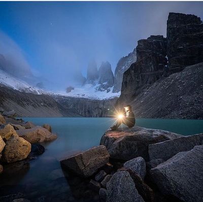
The Patagonian Desert is a large arid region in southern Argentina, featuring high plateaus, valleys, and canyons between the Andes and Atlantic Ocean. The landscape consists mostly of low shrubland, barren plains, and scattered ridges that stretch across vast distances.
The region was home to the Tehuelche people for thousands of years, who hunted guanacos and rheas across the land. European settlers began arriving in the 18th century and later established sheep and cattle ranching, transforming the territory completely.
The name comes from the indigenous peoples who roamed here before European settlement transformed the land. Today, sheep farming and scattered towns define the landscape, shaped by constant wind and vast open horizons.
The weather is dry and windy, with temperatures varying from cold to mild depending on season and elevation. Visitors should prepare for variable conditions and bring warm, wind-resistant clothing, as protection from the constant wind is essential.
Despite the dry conditions, fruit and nut orchards thrive here, growing peaches, almonds, and grapes through irrigated valleys. These small green pockets stand out remarkably against the otherwise barren landscape.
Address: Patagonian Desert, Río Negro Province, Argentina
GPS coordinates: -41.32001,-69.32007
Latest update: December 11, 2025 19:34
The world's largest desert expanses range from the poles to subtropical areas. From Antarctica with its 14 million square kilometers to the Mojave plains, these regions are characterized by extreme conditions and low rainfall. Polar deserts dominate in area, followed by hot deserts like the Sahara...
Cañadón del Moro
60.8 kmCerro Anecón Grande
80.1 kmCerro León
91.2 kmCerro Caín
91.3 kmCerro Negro
86.1 kmCañadón Fita-ruín
73.1 kmCerro Tronador
86.3 kmCerro Áspero
68.2 kmCerro Ñe-Luan
57.5 kmCerro Moligüe
70.4 kmCerro Choqueyán
88.9 kmCerro Buena Parada
91.3 kmCerro Pilahué
90.5 kmCerro Corcovado
90.7 kmCerro Trayen-Niye
85.1 kmCañadón Caliente
75.8 kmMuseo Jorge H. Gerhold
18.8 kmCartel de Comallo
84.8 kmSalida del Cañadon Mallin Grande
27.9 kmCasco Mallin Grande
30.9 kmLaguna Ñe Luan
61.4 kmEl Molihue
70.3 kmCartel de Ing. Jacobacci
16 kmCartel de Ing. Jacobacci
19.7 kmCartel de Ing. Jacobacci
20.9 kmRoberto Requeijo
85.3 kmMirador del Cerro
85.2 kmScenic viewpoint
71 kmVisited this place? Tap the stars to rate it and share your experience / photos with the community! Try now! You can cancel it anytime.
Discover hidden gems everywhere you go!
From secret cafés to breathtaking viewpoints, skip the crowded tourist spots and find places that match your style. Our app makes it easy with voice search, smart filtering, route optimization, and insider tips from travelers worldwide. Download now for the complete mobile experience.
A unique approach to discovering new places❞
— Le Figaro
All the places worth exploring❞
— France Info
A tailor-made excursion in just a few clicks❞
— 20 Minutes