Mount Stewart Red Trail
Location: Northern Ireland / Tuaisceart Éireann
Website: https://www.nationaltrust.org.uk/visit/northern-ireland/mount-stewart/mount-stewart-red-trail
Operator: National Trust
Website: https://nationaltrust.org.uk/visit/northern-ireland/mount-stewart/mount-stewart-red-trail
GPS coordinates: 54.54784,-5.59030
Latest update: March 14, 2025 01:34
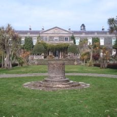
Mount Stewart
1.4 km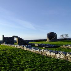
Nendrum Monastery
6.7 km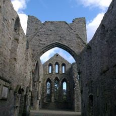
Grey Abbey
2.5 km
Nendrum Monastery mill
6.5 km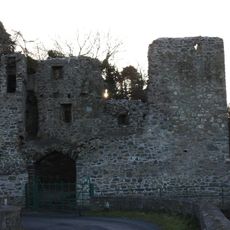
Mahee Castle
6.4 km
Steinkiste von Mount Stewart
282 m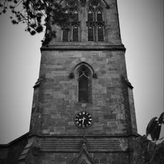
Christ Church (c Of I) Woburn Road Ballyrawer Millisle Newtownards Co Down Bt22 2hy
5.2 km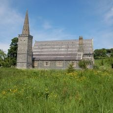
St. Saviourís C Of I Parish Church Church Street Greyabbey Newtownards Co. Down Bt22 2nq
2.6 km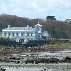
Woburn House
6.9 km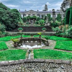
Mount Stewart & Garden Walls Mount Stewart Newtownards Co. Down Bt22 2ru
866 m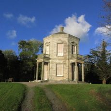
The Temple Of The Winds Mount Stewart Newtownards Co. Down Bt22 2ru
227 m
Mahee Island Golf Club
6.4 km
Boys Brigade Heritage Museum
6.8 km
Scenic viewpoint
1.3 km
White Stag
995 m
Winter Walk, Mount Stewart
782 m
Round Tower
6.7 km
Scenic viewpoint
6.7 km
Scenic viewpoint
236 m
Scenic viewpoint
6.7 km
Mahee Island Golf Course
6.3 km
Scenic viewpoint
6.8 km
Scenic viewpoint
6.8 km
Island Hill
6.9 km
Work of art, sculpture
6.9 km
Drumawhey Junction Railway
6.9 km
Temple of the Winds
221 m
Scenic viewpoint
6.9 kmReviews
Visited this place? Tap the stars to rate it and share your experience / photos with the community! Try now! You can cancel it anytime.
Discover hidden gems everywhere you go!
From secret cafés to breathtaking viewpoints, skip the crowded tourist spots and find places that match your style. Our app makes it easy with voice search, smart filtering, route optimization, and insider tips from travelers worldwide. Download now for the complete mobile experience.

A unique approach to discovering new places❞
— Le Figaro
All the places worth exploring❞
— France Info
A tailor-made excursion in just a few clicks❞
— 20 Minutes