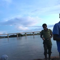
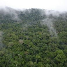
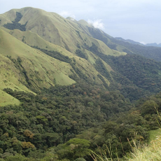
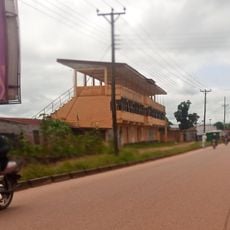
Resort Hut
Location: Kailahun District
Address: 00 Council Road Kailahun
GPS coordinates: 8.27424,-10.57357
Latest update: June 4, 2025 20:15

Mount Wuteve
72.7 km
Gola National Park
94.1 km
Lofa-Mano National Park
59.2 km
Kambui Hills Forest Reserve
94.7 km
Tingi Hills Forest Reserve
75.5 km
Sankan Biriwa
74 km
Kenema Town Field
80.5 km
Wonegizi Nature Conservation Unit
109.3 km
Grab von Kapitän Lendy
48.1 km
Yengema Cave
75.6 km
Sassane
107.7 km
Jojima
17.7 km
Boana
97.9 km
Gori
36.6 km
Nimini
69.1 km
Fakonko
113.4 km
Bonko
104.5 km
Kondewa
83.8 km
Banyai
96.2 km
Saiama
61.5 km
Holy Trinity Hall
82.8 km
Waterfall
55.5 km
Hangar de madame Djenebou Baldé
51.3 km
Boakai Village
97.7 km
Suna's
37 km
Pakistan Point
92 km
Resettlement
57.9 km
Scenic viewpoint
57.5 kmReviews
Visited this place? Tap the stars to rate it and share your experience / photos with the community! Try now! You can cancel it anytime.
Discover hidden gems everywhere you go!
From secret cafés to breathtaking viewpoints, skip the crowded tourist spots and find places that match your style. Our app makes it easy with voice search, smart filtering, route optimization, and insider tips from travelers worldwide. Download now for the complete mobile experience.

A unique approach to discovering new places❞
— Le Figaro
All the places worth exploring❞
— France Info
A tailor-made excursion in just a few clicks❞
— 20 Minutes