Mount Wuteve, mountain in Liberia
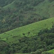
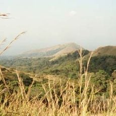
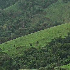
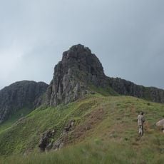
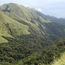
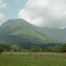
Mount Wuteve, also called Mount Wologizi, is the highest point in Liberia, in the Guinea Highlands of Voinjama District. Its ridge and associated peaks run about 22 km, with spurs up to 5 km on each side; slopes are steep and form cliffs up to 100 m high. The summit reaches 1,447 m, higher than the 1,380 m once quoted.
Mount Wuteve's elevation was long quoted as 1,380 metres until Shuttle Radar Topography Mission data showed a higher summit, now given as 1,447 metres (Spanish Wikipedia states 1,440). The Wuteve or Wologizi ridge, with several associated peaks, runs for 22 km with spurs up to 5 km on each side.
The mountain gives its name to the Wologizi ridge, and the two names Wuteve and Wologizi are used interchangeably for the same massif in Voinjama District. The massif is recognised by BirdLife International as an Important Bird Area, a status that reflects the bird populations living on its slopes and ridges.
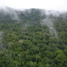
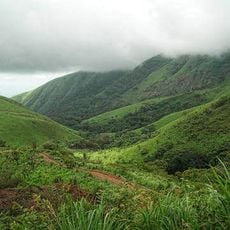
The Wuteve or Wologizi ridge runs about 22 km, with spurs up to 5 km on each side, and its slopes form cliffs up to 100 m high in places. Above 1,000 m the forest becomes low and dense, so plan a route that allows for slow progress. The summit lies at 08°08′45″N 09°55′30″W.
Specialized trees like Parinari and Ouratea grow above 1,000 meters, their form adapted to the higher elevation and cooler conditions. This vegetation shows how ecosystems shift with altitude and which plants thrive under these mountain conditions.
The community of curious travelers
AroundUs brings together thousands of curated places, local tips, and hidden gems, enriched daily by 92,800 contributors worldwide.