Voinjama District, Distrikt in Liberia
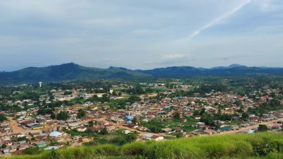
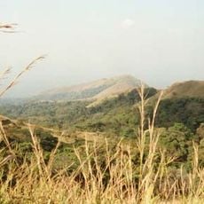
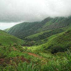
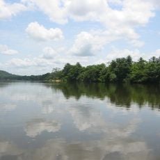
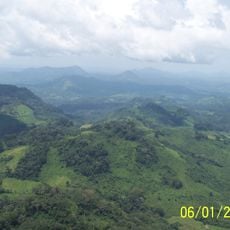
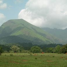
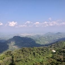
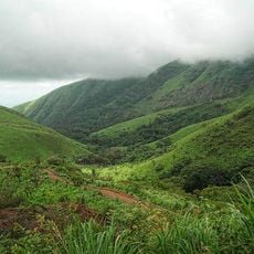
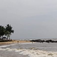
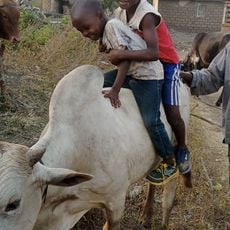
Voinjama District is an administrative division in northern Liberia that serves as the district's governance center. The landscape consists of green terrain dotted with forests, hills, and scattered villages surrounded by farmland where crops like rice, cassava, and sugarcane are grown.
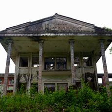
The district was severely affected by Liberia's civil war starting in 1989, when residents fled their homes for safety in neighboring countries. After the conflict ended in the early 2000s, people gradually returned to rebuild their communities and restore damaged homes and infrastructure.
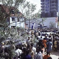
Music and dance are central to community gatherings and festivals, where people celebrate their heritage and share stories about their ancestors. Traditional values guide daily interactions, with neighbors greeting each other warmly and elders playing a key role in making decisions that affect the district.
Most roads are dirt paths that become muddy during the rainy season, making travel difficult. Visitors should wear sturdy shoes and come prepared for simple conditions when exploring the area.
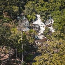
The area is home to protected forests including the Bluyeama community forest and the Wologizi Mountain Range, which shelter diverse wildlife and plant species. These woodlands serve both as conservation areas and as resources that local communities depend on for their livelihoods.
The community of curious travelers
AroundUs brings together thousands of curated places, local tips, and hidden gems, enriched daily by 60,000 contributors worldwide.