Narrandera Watertower
Location: Narrandera
Location: Narrandera Shire Council
GPS coordinates: -34.73808,146.55423
Latest update: November 21, 2025 23:30
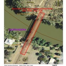
Murrumbidgee River railway bridge, Narrandera
2.9 km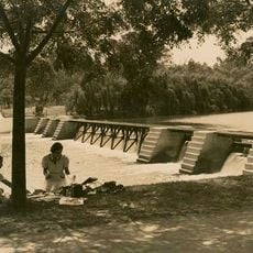
Yanco Weir
13.1 km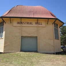
Narrandera Showground Industrial Hall
1.6 km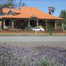
Derrendi, Narrandera
1.1 km
Laments Beach
15.3 km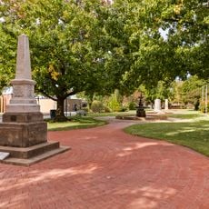
Memorial Gardens
1 km
Island Beach
9.8 km
Lamonts Beach
15.3 km
Broad Beach
14.7 km
Marie Bashir Park
886 m
Markeys Beach
9.8 km
Sandy Beach
9.8 km
Hankinson Park
769 m
Cunninghams Beach
13.2 km
Platt Beach
9.8 km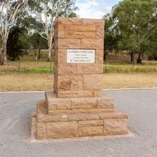
Sturt Memorial
1.9 km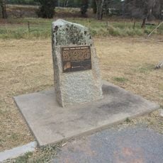
Aerial Trunk Route Memorial
1.9 km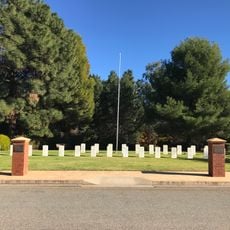
Narrandera War Cemetery
1.1 km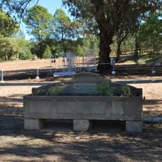
Horse trough
1.2 km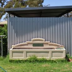
Horse trough
859 m
Narrandera Golf Course
1.3 km
Inland Fisheries John Lake Centre
4.5 km
Island Beach
8.6 km
Sandy Beach
8.2 km
Platt Beach
9.3 km
First Beach
3 km
Narrandera Visitor Information Centre
880 m
Carmel and Andrew
1.1 kmReviews
Visited this place? Tap the stars to rate it and share your experience / photos with the community! Try now! You can cancel it anytime.
Discover hidden gems everywhere you go!
From secret cafés to breathtaking viewpoints, skip the crowded tourist spots and find places that match your style. Our app makes it easy with voice search, smart filtering, route optimization, and insider tips from travelers worldwide. Download now for the complete mobile experience.

A unique approach to discovering new places❞
— Le Figaro
All the places worth exploring❞
— France Info
A tailor-made excursion in just a few clicks❞
— 20 Minutes