Der Wein
Location: Sankt Bartholomä
GPS coordinates: 47.05576,15.26874
Latest update: November 16, 2025 07:07
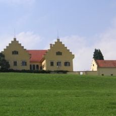
Reiteregg Castle
2.4 km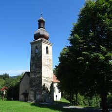
Alte Kirche (St. Bartholomä)
2 km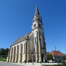
Pfarrkirche St. Bartholomäus
1.7 km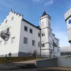
Schloss Sonneck
357 m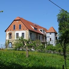
Schloss Schütting
2.4 km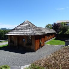
Bartholomäer Kegelstatt
1.8 km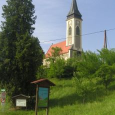
Poniglkapelle
1.1 km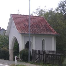
Kapelle der Ulz-Mühle
2.5 km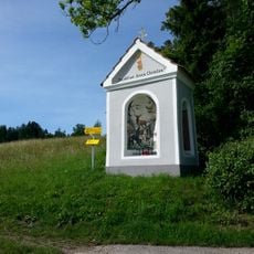
Pitrich-Bildstock
2.5 km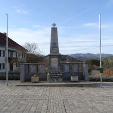
Kriegerdenkmal
1.8 km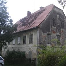
Ulz-Mühle
2.5 km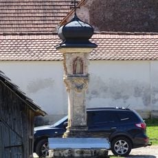
Sog. Pestsäule
2.2 km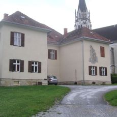
Pfarrhof Sankt Bartholomä
1.8 km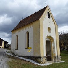
Kulmerbauer-Kapelle
2.7 km
LokalGlobal
1.9 km
Sprießling
952 m
Baum der Worte am Platz der Stille
546 m
Narrische Schwammerl
927 m
Wunder- Wandervogel
133 m
Kunstplatz
273 m
Pitrich-Bildstock
2.5 km
Wayside cross
1.8 km
Bildstock Zöhrer
2.2 km
Wayside cross
1.3 km
Wayside shrine
1.6 km
Wayside shrine, tree, coniferous forest
2.7 km
Wayside shrine
2.6 km
Wayside shrine
2.6 kmReviews
Visited this place? Tap the stars to rate it and share your experience / photos with the community! Try now! You can cancel it anytime.
Discover hidden gems everywhere you go!
From secret cafés to breathtaking viewpoints, skip the crowded tourist spots and find places that match your style. Our app makes it easy with voice search, smart filtering, route optimization, and insider tips from travelers worldwide. Download now for the complete mobile experience.

A unique approach to discovering new places❞
— Le Figaro
All the places worth exploring❞
— France Info
A tailor-made excursion in just a few clicks❞
— 20 Minutes