
Instabilität Stabilität
Location: Linz
Inception: January 1, 2002
Creator: Sepp (Josef) Auer
Creator: Sepp (Josef) Auer
GPS coordinates: 48.28073,14.29486
Latest update: November 15, 2025 13:51
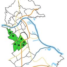
Waldegg (Linz)
477 m
Lustenau
477 m
Innenstadt
477 m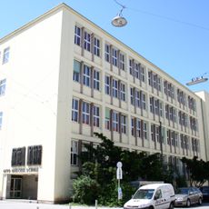
Otto-Glöckel-Schule Linz
782 m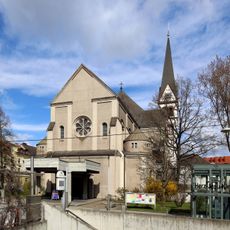
Herz-Jesu-Kirche (Linz)
891 m
Sankt Michael (Bindermichl)
976 m
Pfarrkirche St. Peter
919 m
Wiener Straße 53
980 m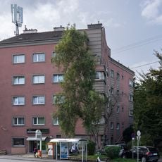
Wohnanlage Sophiengutstraße 1, Linz
963 m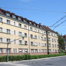
Kommunaler Wohnbau
510 m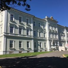
Original building of the Neuromed Campus
346 m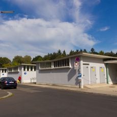
Kabinenpavillions Hummelhofbad
615 m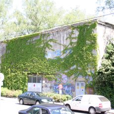
Luftschutzbunker, Andreas-Hofer-Platz
680 m
Geschichteclub Stahl
997 m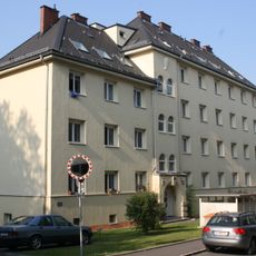
Niedernharter Straße 4-6
560 m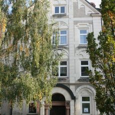
Pfarrhof Herz Jesu
913 m
Seniorenzentrum Spallerhof
1 km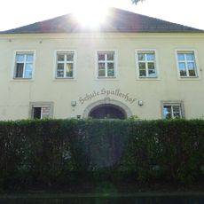
Spallerhofschule
818 m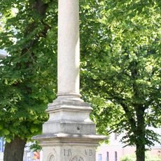
Gnadenstuhl
768 m
Kindergarten
624 m
Volks- und Hauptschule
885 m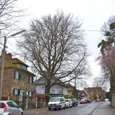
Blutbuche von Linz
1 km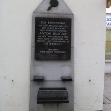
Gedenktafel Anton Bulgari
773 m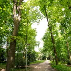
Zwei Eichen in Waldegg
628 m
Work of art, statue
483 m
Kriegerdenkmal
1 km
Wayside shrine
904 m
Memorial
770 mReviews
Visited this place? Tap the stars to rate it and share your experience / photos with the community! Try now! You can cancel it anytime.
Discover hidden gems everywhere you go!
From secret cafés to breathtaking viewpoints, skip the crowded tourist spots and find places that match your style. Our app makes it easy with voice search, smart filtering, route optimization, and insider tips from travelers worldwide. Download now for the complete mobile experience.

A unique approach to discovering new places❞
— Le Figaro
All the places worth exploring❞
— France Info
A tailor-made excursion in just a few clicks❞
— 20 Minutes