Inntalengel
Location: Radfeld
Creator: Alois Schild
Creator: Alois Schild
GPS coordinates: 47.45939,11.93192
Latest update: July 20, 2025 13:55
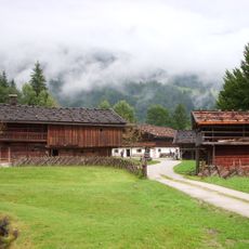
Museum of Tyrolean Farms
1.1 km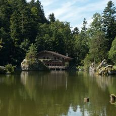
Berglsteiner See
2.1 km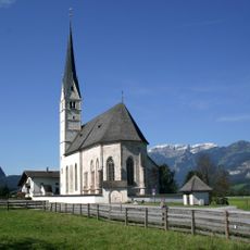
Filialkirche St. Leonhard, Kundl
2.3 km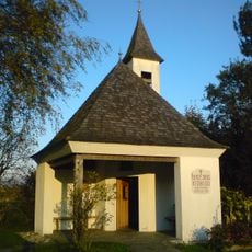
Schützenkapelle in der Au, Radfeld
943 m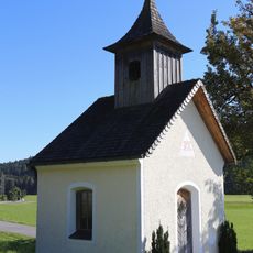
Mariahilfkapelle, Haus
1.6 km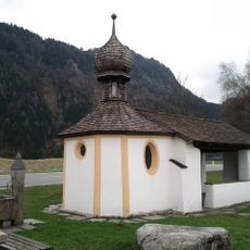
Auflegerkapelle
1.9 km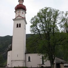
Filialkirche hl. Briccius, Radfeld
2.2 km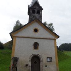
Antoniuskapelle, Straßmühle
2.4 km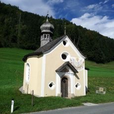
Mosenkapelle
1.7 km
Bricciussäule
2.1 km
Burgstall Neideck
2.1 km
Mittelalterlich-neuzeitliche Richtstätte im Maukenwald bei Radfeld
1 km
Burgstall Schintelberg
2.5 km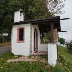
Neudeggerkapelle, Kramsach
2 km
Abfall-Puppenmuseum
2 km
Wayside cross
1.5 km
Steibeisser
2.1 km
Wayside cross
2 km
Wayside cross
1.8 km
Scenic viewpoint
2.3 km
Wayside cross
1.2 km
Engel
1 km
Wayside shrine
2.5 km
St. Jakob
844 m
Wayside cross
2.6 km
Waterfall
2.6 km
Wayside cross
2.6 km
Catholic church building, wayside cross, Christianity
2.6 kmReviews
Visited this place? Tap the stars to rate it and share your experience / photos with the community! Try now! You can cancel it anytime.
Discover hidden gems everywhere you go!
From secret cafés to breathtaking viewpoints, skip the crowded tourist spots and find places that match your style. Our app makes it easy with voice search, smart filtering, route optimization, and insider tips from travelers worldwide. Download now for the complete mobile experience.

A unique approach to discovering new places❞
— Le Figaro
All the places worth exploring❞
— France Info
A tailor-made excursion in just a few clicks❞
— 20 Minutes