Hl. Donatus
Location: Lengenfeld
Inception: January 1, 1719
GPS coordinates: 48.46267,15.62694
Latest update: July 20, 2025 13:55

Christophorus 2
1.9 km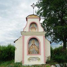
Flur-/Wegkapelle
1.4 km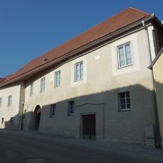
Gutshof/Meierhof (herrschaftlich)
2.1 km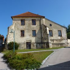
Schule, ehem. Karner
2.2 km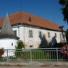
Lengenfeld Neues Schloss
2.1 km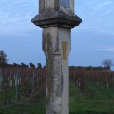
Wayside shrine 'Wegebau Weinträgerin'
2.2 km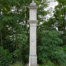
Bildstock
1.2 km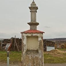
Bildstock, Kallingerkreuz
1.7 km
Bürgerhaus und Wirtschaftsgebäude
2.2 km
Statue of St. John of Nepomuk
2.1 km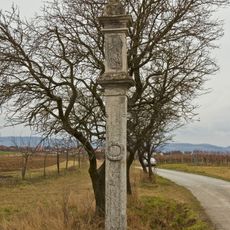
Bildstock
2 km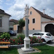
Figurenbildstock Maria mit Kind
2.2 km
Kruzifix/Kreuz
1.1 km
Presshaus, sog. Kellerhaus
2 km
Befestigte Siedlung Mühlfeldbreiten
1.8 km
STALAG XVII B
1.8 km
Wayside shrine
2 km
Wayside shrine
1.8 km
Wayside shrine, Christianity
2 km
Wayside shrine
1.7 km
Statue, memorial
2.1 km
Wayside shrine
1.7 km
Baumpresse
2.1 km
Wayside shrine
1.5 km
Wayside shrine
1.5 km
Golf club Lengenfeld
1.3 km
War memorial, memorial
2.2 km
Wayside shrine
1.2 kmReviews
Visited this place? Tap the stars to rate it and share your experience / photos with the community! Try now! You can cancel it anytime.
Discover hidden gems everywhere you go!
From secret cafés to breathtaking viewpoints, skip the crowded tourist spots and find places that match your style. Our app makes it easy with voice search, smart filtering, route optimization, and insider tips from travelers worldwide. Download now for the complete mobile experience.

A unique approach to discovering new places❞
— Le Figaro
All the places worth exploring❞
— France Info
A tailor-made excursion in just a few clicks❞
— 20 Minutes