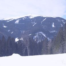
Stuhleck
Location: Spital am Semmering
GPS coordinates: 47.57678,15.77856
Latest update: October 28, 2025 15:37
Stuhleck
904 m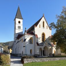
Parish church Spital am Semmering
4.6 km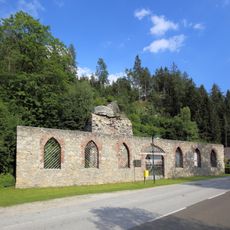
Alfredhütte Steinhaus
4.7 km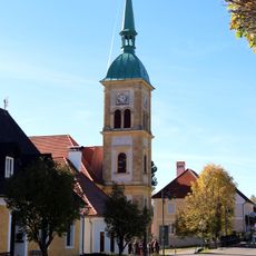
Pfarrkirche hl. Florian, Rettenegg
5.8 km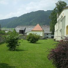
Kirchhof/Friedhof ehemaliger, Friedhofsmauer
4.6 km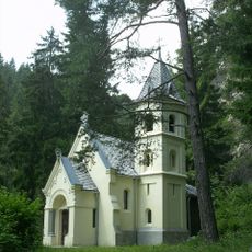
Zatzka-Kapelle
5.3 km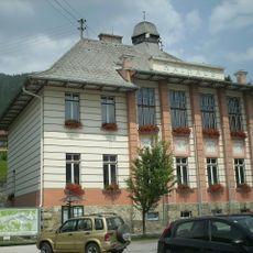
Rathaus/Gemeindeamt
4.8 km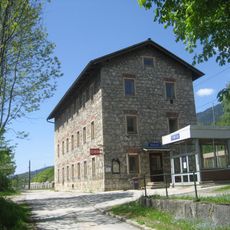
Südbahnstrecke Semmering-Bahn (Gloggnitz-Mürzzuschlag)
4.9 km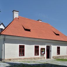
Pfarrheim, ehem. Armenhaus
5.8 km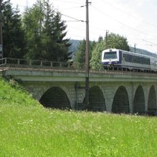
Holzergraben viaduct
4.8 km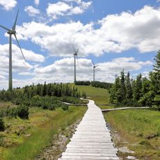
Schwarzriegelmoos
1.8 km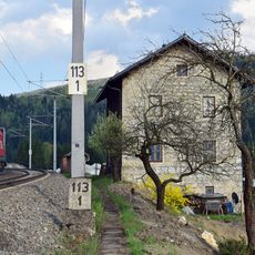
Südbahnstrecke Semmering-Bahn (Gloggnitz-Mürzzuschlag)
5.7 km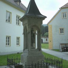
Bildstock
4.7 km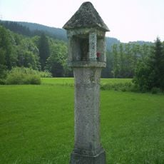
Bildstock
4.6 km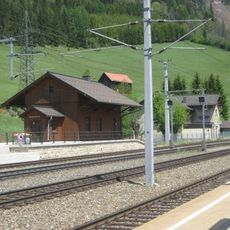
Südbahnstrecke Semmering-Bahn (Gloggnitz-Mürzzuschlag)
5 km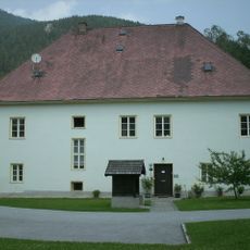
Pfarrhof
4.7 km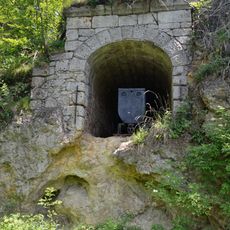
Erzstollen
4.7 km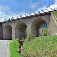
Jauern viaduct
4.5 km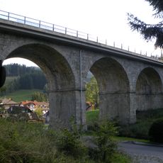
Steinhauser viaduct
5.1 km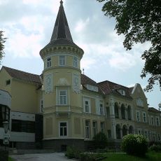
Schloss Sommerau, Franz-Jawornik-Heim des Kriegsopferverbandes Stmk.
4.5 km
Soldatenfriedhof Rettenegg
5.7 km
Gutshof, Nebengebäude d. Pfarrhofs
4.6 km
Erzstollen
4.7 km
Kaltenbach Open Air
3.6 km
Scenic viewpoint
5 km
Alfredhütte
4.7 km
Memorial stone, memorial
3.2 km
Memorial, commemorative plaque
5.2 kmReviews
Visited this place? Tap the stars to rate it and share your experience / photos with the community! Try now! You can cancel it anytime.
Discover hidden gems everywhere you go!
From secret cafés to breathtaking viewpoints, skip the crowded tourist spots and find places that match your style. Our app makes it easy with voice search, smart filtering, route optimization, and insider tips from travelers worldwide. Download now for the complete mobile experience.

A unique approach to discovering new places❞
— Le Figaro
All the places worth exploring❞
— France Info
A tailor-made excursion in just a few clicks❞
— 20 Minutes