
Der Taubenbogen
Location: Purkersdorf
Creator: Prof. Horst Aschermann
Creator: Prof. Horst Aschermann
GPS coordinates: 48.20672,16.17765
Latest update: July 20, 2025 13:56
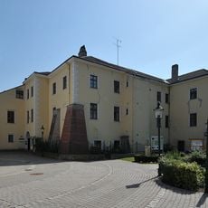
Schloss Purkersdorf
198 m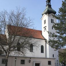
St. Jakob
170 m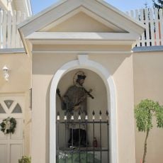
Flur-/Wegkapelle hl. Johannes Nepomuk
510 m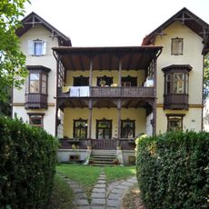
Villa/Landhaus
301 m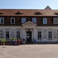
Fürnbergsche Poststation
146 m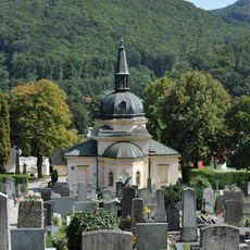
Cemetery chapel Purkersdorf
546 m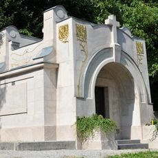
Mausoleum Joppich, Purkersdorf
611 m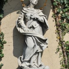
Maria Immaculata, Kaiser Josef-Straße 1, Purkersdorf
202 m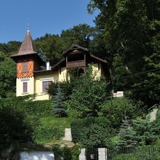
Villa/Landhaus
543 m
Villa/Landhaus
498 m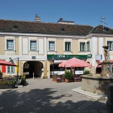
Bürgerhaus
74 m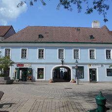
Town house, former inn "Zum goldenen Wolfen"
90 m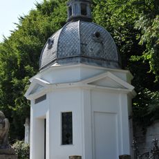
Mausoleum Dreywurst
624 m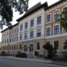
Josef Schöffel-Hauptschule
235 m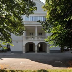
Kommunaler Wohnbau, Schloss Fürstenberg
273 m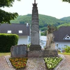
War memorial Cemetery Purkersdorf
523 m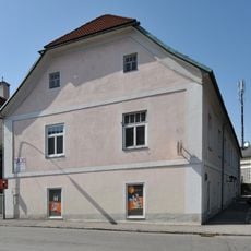
Ehemaliger Karmeliterhof
209 m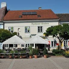
Gasthaus Rathaus-Stuben
78 m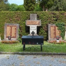
War memorial Cemetery Purkersdorf
540 m
Baum der Generationen
227 m
Jakobspilger
216 m
Scenic viewpoint
369 m
Josef Schöffel
452 m
Jakobus
205 m
Darüber-Blick
586 m
Streichelzoo
143 m
Josef-Weinheber-Denkmal
373 m
Memorial, commemorative plaque
655 mReviews
Visited this place? Tap the stars to rate it and share your experience / photos with the community! Try now! You can cancel it anytime.
Discover hidden gems everywhere you go!
From secret cafés to breathtaking viewpoints, skip the crowded tourist spots and find places that match your style. Our app makes it easy with voice search, smart filtering, route optimization, and insider tips from travelers worldwide. Download now for the complete mobile experience.

A unique approach to discovering new places❞
— Le Figaro
All the places worth exploring❞
— France Info
A tailor-made excursion in just a few clicks❞
— 20 Minutes