Vodník Tonička
Location: Újezd u Brna
Creator: Mgr. Jan Černý
GPS coordinates: 49.10130,16.76596
Latest update: December 9, 2025 19:29
Špice
1.3 km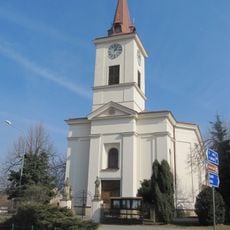
Church of Saints Peter and Paul
776 m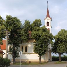
Protestant church in Újezd u Brna
309 m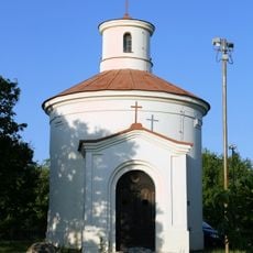
Chapel of Saint Anthony of Padua
1.1 km
Socha - busta Klementa Gottwalda
723 m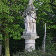
Socha sv. Jana Nepomuckého
629 m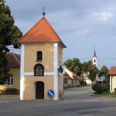
Bell tower
254 m
Špice
1.4 km
Sv. Jan Nepomucký
861 m
Wayside shrine, Christianity
1.3 km
Svatý Petr
800 m
Svatý Jan Nepomucký
797 m
Wayside cross
1.4 km
Wayside shrine, Christianity
1.2 km
Samoobslužný bar
751 m
Wayside cross
873 m
Wayside cross
1.1 km
Svatý Pavel
798 m
Christianity, wayside cross
709 m
Wayside cross, Christianity, Catholic church building
990 m
Christianity, Catholic church building, wayside cross
1.2 km
Catholic church building, wayside cross, Christianity
1.2 km
Pomník leteckého neštěstí
1.3 km
Catholic church building, wayside cross, Christianity
861 m
Catholic church building, wayside cross, Christianity
1.6 km
Statue, memorial
102 m
Wayside shrine
791 m
Wayside cross
1.5 kmVisited this place? Tap the stars to rate it and share your experience / photos with the community! Try now! You can cancel it anytime.
Discover hidden gems everywhere you go!
From secret cafés to breathtaking viewpoints, skip the crowded tourist spots and find places that match your style. Our app makes it easy with voice search, smart filtering, route optimization, and insider tips from travelers worldwide. Download now for the complete mobile experience.

A unique approach to discovering new places❞
— Le Figaro
All the places worth exploring❞
— France Info
A tailor-made excursion in just a few clicks❞
— 20 Minutes