
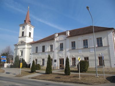
Újezd u Brna, town in the Czech Republic
Location: Шлапанице
Location: Brno-Country District
Elevation above the sea: 195 m
Shares border with: Hostěrádky-Rešov, Šaratice, Otnice, Těšany, Sokolnice, Žatčany, Telnice
Email: info@ujezdubrna.cz
Website: http://ujezdubrna.cz
GPS coordinates: 49.10437,16.75738
Latest update: March 12, 2025 22:01

Šaratica
3.2 km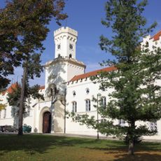
Sokolnice Chateau
2.8 km
Špice
1.3 km
Písky
2.6 km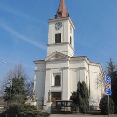
Church of Saints Peter and Paul
66 m
Kostel svatého Jana Křtitele
2.9 km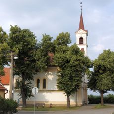
Protestant church in Újezd u Brna
794 m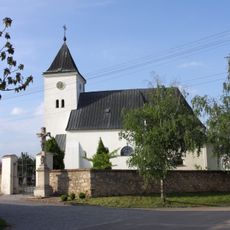
Kostel Nejsvětější Trojice
2.5 km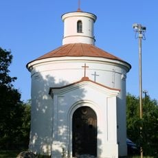
Chapel of Saint Anthony of Padua
514 m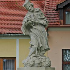
Statue of John of Nepomuk in Telnice
2.9 km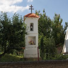
Boží muka
2.2 km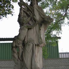
Statue of John of Nepomuk in Sokolnice
2.7 km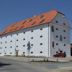
Granary in Sokolnice
2.8 km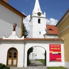
Kaple s bránou u kostela v Telnici
2.9 km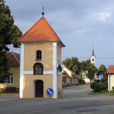
Bell tower
683 m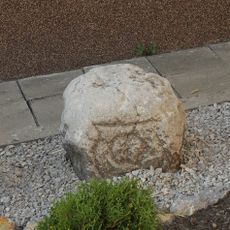
Hraniční kámen
2.9 km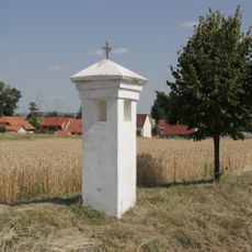
Boží muka u Mrtvé cesty
3.2 km
Smírčí kříž v ulici Pod Stráží
3 km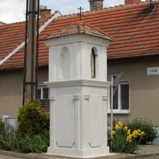
Boží muka na křižovatce Růžová - V dědině
3.3 km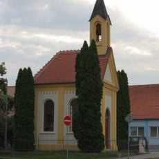
Chapel of Holy Virgin
2.8 km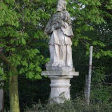
Socha sv. Jana Nepomuckého
733 m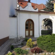
Chapel of Saint Florian in Telnice
2.9 km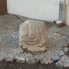
Hraniční kámen
2.9 km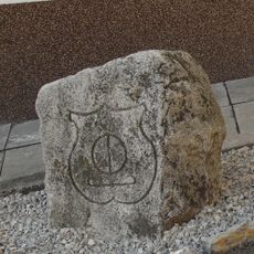
Hraniční kámen
2.9 km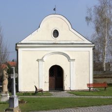
Chapel of Saint Mary Magdalene
2.5 km
Tvrz Stráž
3 km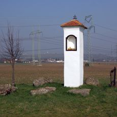
Boží muka Na Lopatě
2.4 km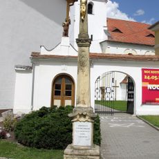
Kamenný kříž u kostela v Telnici
2.9 kmVisited this place? Tap the stars to rate it and share your experience / photos with the community! Try now! You can cancel it anytime.
Discover hidden gems everywhere you go!
From secret cafés to breathtaking viewpoints, skip the crowded tourist spots and find places that match your style. Our app makes it easy with voice search, smart filtering, route optimization, and insider tips from travelers worldwide. Download now for the complete mobile experience.

A unique approach to discovering new places❞
— Le Figaro
All the places worth exploring❞
— France Info
A tailor-made excursion in just a few clicks❞
— 20 Minutes