Шлапанице

Log in to your account

AroundUs is a community-driven map of interesting places, built by curious explorers like you. It grows with every review, story, and photo you share.
Connect to save your favorite spots, contribute locations, and create personalized routes.
By continuing, you accept our Terms and Conditions and our Privacy Policy
Add to collection
Map
Suggest a change
Share

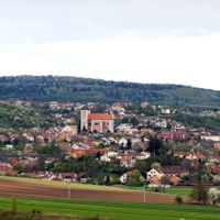
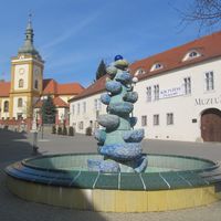
Шлапанице, Administrative district in Brno-Country District, Czech Republic.

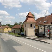
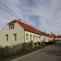
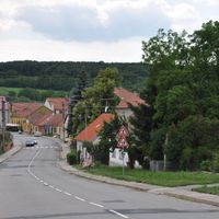
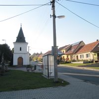
Šlapanice is an administrative district located southeast of Brno that covers forty municipalities, each maintaining its own local governance structure. The district coordinates shared services and handles official matters for residents across all its constituent communities.

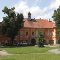
The district was created in 2003 as part of the Czech Republic's administrative restructuring and received expanded authority as a municipal office at that time. This change was part of a nationwide effort to improve how local administrative services were organized.

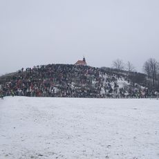
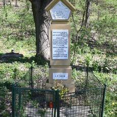
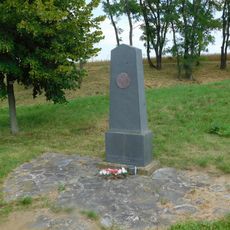
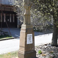
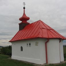
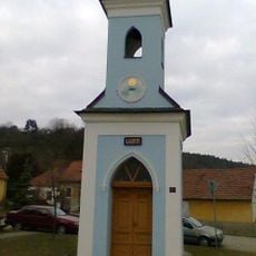
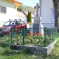
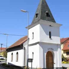
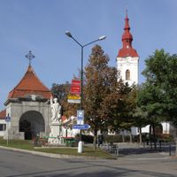
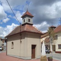
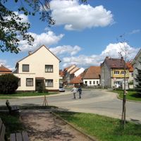
Each municipality within the district holds local festivals and community events throughout the year that reflect how people in these towns and villages connect with one another. These gatherings reveal the traditions and social bonds that matter to residents across the area.

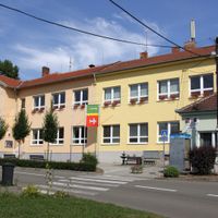
Residents can submit applications, permits, and official documents at the municipal office in Šlapanice for matters related to their home community. It helps to check in advance what paperwork might be needed for your specific situation.

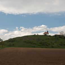
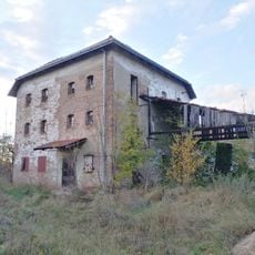
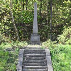
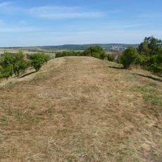
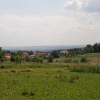
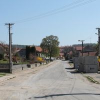
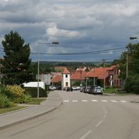
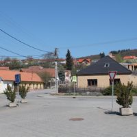
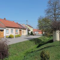
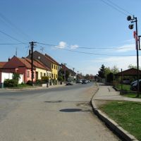
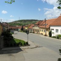
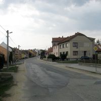
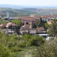
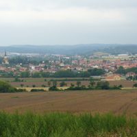
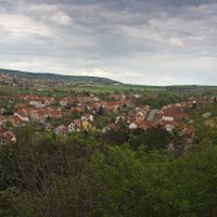
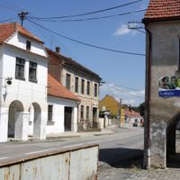
The district covers a geographically diverse area, ranging from more densely settled zones near Brno to rural villages nestled along the Svitava River valley. This variety shows how different the landscapes can be within a single administrative zone.

Location: Brno-Country District

Inception: January 1, 2003

Capital city: Šlapanice

GPS coordinates: 49.20000,16.75000

Latest update: December 14, 2025 14:23

Photos
Around this place
Santon
Czech Republic

Santon

1.6 km
Santon (natural monument)
Czech Republic

Santon (natural monument)

1.6 km
Velatická slepencová stráň
Czech Republic

Velatická slepencová stráň

926 m
Vinohrady
Czech Republic

Vinohrady

897 m
Windmill in Tvarožná
Czech Republic

Windmill in Tvarožná

1.6 km
Memorial of children killed by explosion
Czech Republic

Memorial of children killed by explosion

287 m
Pomník generála Valhuberta pod Santonem
Czech Republic

Pomník generála Valhuberta pod Santonem

1.8 km
Statue of Saint Aloysius Gonzaga in Velatice
Czech Republic

Statue of Saint Aloysius Gonzaga in Velatice

368 m
Chapel of Our Lady of the Snow on the Santon hill
Czech Republic

Chapel of Our Lady of the Snow on the Santon hill

1.6 km
Pomník padlým v bitvě u Slavkova pod Santonem
Czech Republic

Pomník padlým v bitvě u Slavkova pod Santonem

1.7 km
Vojenský hřbitov bitvy u Slavkova
Czech Republic

Vojenský hřbitov bitvy u Slavkova

1.6 km
Chapel of Saint Godehard
Czech Republic

Chapel of Saint Godehard

1.6 km
Masarykova alej v Tvarožné
Czech Republic

Masarykova alej v Tvarožné

1.4 km
Wayside cross in Velatice nearby the chapel
Czech Republic

Wayside cross in Velatice nearby the chapel

357 m
World Wars memorial in Velatice
Czech Republic

World Wars memorial in Velatice

577 m
World War II memorial in Velatice
Czech Republic

World War II memorial in Velatice

714 m
Chapel of Saint Anne
Czech Republic

Chapel of Saint Anne

357 m
Polní opevnění bitvy u Slavkova, zřícenina
Czech Republic

Polní opevnění bitvy u Slavkova, zřícenina

1.6 km
Kříž pod Santonem
Czech Republic

Kříž pod Santonem

1.8 km
Výklenková kaplička u cesty západně od Tvarožné
Czech Republic

Výklenková kaplička u cesty západně od Tvarožné

1.3 km
Kříž u cesty západně od Tvarožné
Czech Republic

Kříž u cesty západně od Tvarožné

1.5 km
Chapel of Virgin Mary
Czech Republic

Chapel of Virgin Mary

1.9 km
Boží muka v Tvarožné
Czech Republic

Boží muka v Tvarožné

1.5 km
Wayside cross in Velatice
Czech Republic

Wayside cross in Velatice

779 m
Kříž u polní cesty severně od Tvarožné
Czech Republic

Kříž u polní cesty severně od Tvarožné

1.3 km
Wayside cross and World War I memorial in Velatice
Czech Republic

Wayside cross and World War I memorial in Velatice

350 m
Pamětní desky generálů Bagrationa, Claparèda a Roger-Valhuberta na Santonu
Czech Republic

Pamětní desky generálů Bagrationa, Claparèda a Roger-Valhuberta na Santonu

1.6 km
Kříž u domu č. 169 v Tvarožné
Czech Republic

Kříž u domu č. 169 v Tvarožné

1.7 km
Show the full map
Reviews

Visited this place? Tap the stars to rate it and share your experience / photos with the community! Try now! You can cancel it anytime.

« Шлапанице - Administrative district in Brno-Country District, Czech Republic » is provided by Around Us (aroundus.com). Images and texts are derived from Wikimedia project under a Creative Commons license. You are allowed to copy, distribute, and modify copies of this page, under the conditions set by the license, as long as this note is clearly visible.

Discover hidden gems everywhere you go!

From secret cafés to breathtaking viewpoints, skip the crowded tourist spots and find places that match your style. Our app makes it easy with voice search, smart filtering, route optimization, and insider tips from travelers worldwide. Download now for the complete mobile experience.

Around Us App Screenshot

A unique approach to discovering new places

Le Figaro

All the places worth exploring

France Info

A tailor-made excursion in just a few clicks

20 Minutes