Bergischer Löwe
Location: Stadtbezirk III
Location: Leverkusen
GPS coordinates: 51.06602,7.05604
Latest update: November 22, 2025 17:11
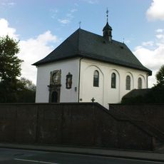
Annakapelle
120 m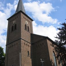
St. Maurinus
130 m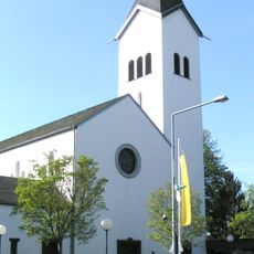
St. Maria Rosenkranzkönigin
1.7 km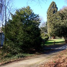
Tillmanns-Park
2.2 km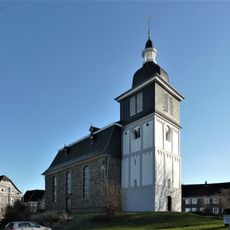
Evangelische Kirche
2.1 km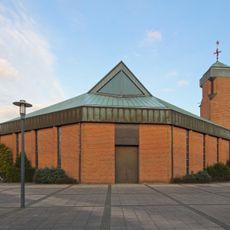
St. Franziskus
1.5 km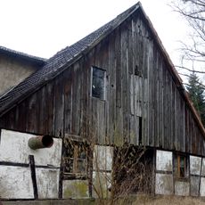
Grunder Mühle
1.5 km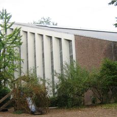
Evangelische Kirche (Quettingen)
2.2 km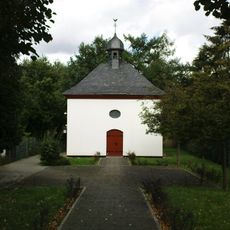
Kreuzkapelle
583 m
Biesenbacher Mühle
908 m
Sumpfgebiet im Ölbachtal
2.1 km
Wiembach-Aue
1.6 km
Bachaue des Bürgerbuschbaches
2.1 km
Wiembachtal und Ölbachtal
1.9 km
LSG-Oestlich Burscheid-Duerscheid <temporaer>
2.3 km
Landschaftsschutzgebiet Bürgerbusch
2 km
LSG-Ophovener Muehlenbachtal und Driescher Bachtal
2.1 km
LSG-Oelbachtal und Wiehbachtal
1.1 km
Wiembach- und Seitentäler zwischen Spiegelhof und Gerstenmühle
1.5 km
Bronzeschraube
1.8 km
Scenic viewpoint
1.2 km
Scenic viewpoint
937 m
Kriegerdenkmal
2 km
Wayside cross
2.1 km
Wayside shrine
1.6 km
Wayside cross
2.2 km
Memorial cross, memorial
242 m
Memorial
208 mReviews
Visited this place? Tap the stars to rate it and share your experience / photos with the community! Try now! You can cancel it anytime.
Discover hidden gems everywhere you go!
From secret cafés to breathtaking viewpoints, skip the crowded tourist spots and find places that match your style. Our app makes it easy with voice search, smart filtering, route optimization, and insider tips from travelers worldwide. Download now for the complete mobile experience.

A unique approach to discovering new places❞
— Le Figaro
All the places worth exploring❞
— France Info
A tailor-made excursion in just a few clicks❞
— 20 Minutes