Regenfänger
Location: Remagen
Creator: Eberhard Bosslet
Creator: Eberhard Bosslet
GPS coordinates: 50.62079,7.20959
Latest update: November 20, 2025 04:41
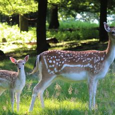
Wildpark Rolandseck
829 m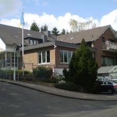
Rheinhöhenweg 101
1.1 km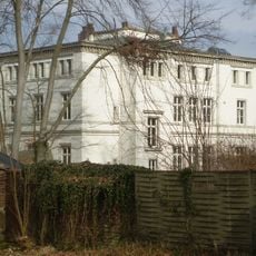
Haus Sölling
950 m
Uhlhof
690 m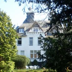
Burg Arntz
866 m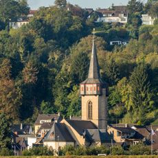
St. Laurentius (Oberwinter)
522 m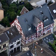
Haus Schwanen
513 m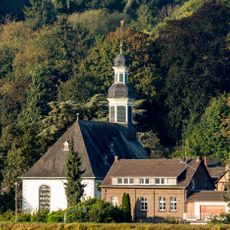
Evangelische Kirche (Oberwinter)
577 m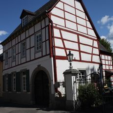
Evangelisches Pfarrhaus
587 m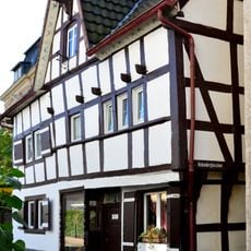
Hauptstraße 73
696 m
Helden-Köpfchen
471 m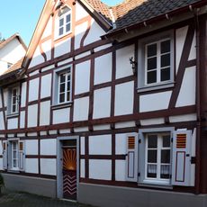
Hauptstraße 102
495 m
Am Kasselbach 5
1.1 km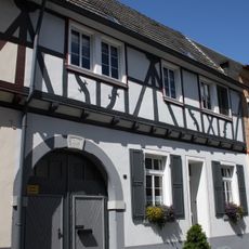
Hauptstraße 89
599 m
Hauptstraße 135
346 m
Am Hahnsberg 37
1.1 km
Wildschweine
552 m
Ziegen
663 m
Pferde und Ponys
832 m
Schottische Hochlandrinder
551 m
Seven Paces
999 m
Scenic viewpoint
479 m
Scenic viewpoint
386 m
Wayside cross, Christianity, Catholic church building
891 m
Memorial, memorial stone
800 m
Memorial, war memorial
358 m
Catholic church building, wayside cross, Christianity
887 m
Catholic church building, wayside cross, Christianity
530 mReviews
Visited this place? Tap the stars to rate it and share your experience / photos with the community! Try now! You can cancel it anytime.
Discover hidden gems everywhere you go!
From secret cafés to breathtaking viewpoints, skip the crowded tourist spots and find places that match your style. Our app makes it easy with voice search, smart filtering, route optimization, and insider tips from travelers worldwide. Download now for the complete mobile experience.

A unique approach to discovering new places❞
— Le Figaro
All the places worth exploring❞
— France Info
A tailor-made excursion in just a few clicks❞
— 20 Minutes