BCI-vision
Location: Zahna
Location: Zahna-Elster
GPS coordinates: 51.91371,12.78126
Latest update: November 19, 2025 21:53

Schloss Kropstädt
6 km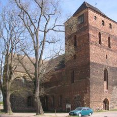
Marienkirche Zahna
501 m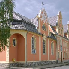
Stift Zahna
1 km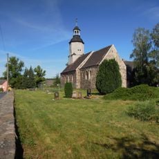
Village church Rahnsdorf (Zahna-Elster)
3.5 km
Woltersdorfer Heide nördlich Wittenberg-Lutherstadt
4.2 km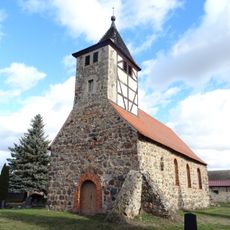
Protestant church Wergzahna
6.5 km
Friedenthaler Grund
4.9 km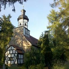
Protestant church Bülzig
2.9 km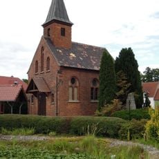
Protestant church Köpnick
5.7 km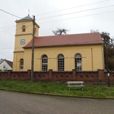
Protestant church Woltersdorf
2.8 km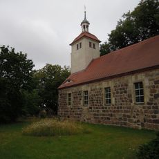
Protestant church Leetza
4 km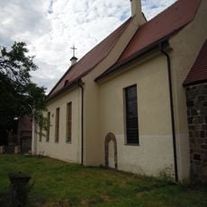
Protestant church Kropstädt
6.1 km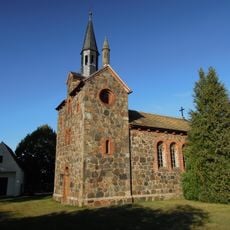
Protestant church Klebitz
5.4 km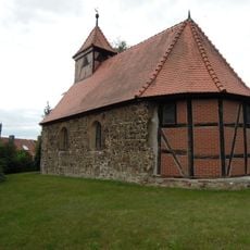
Protestant church Jahmo
6.8 km
Protestant church Zallmsdorf
3.8 km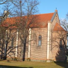
Protestant church St. Paul (Dietrichsdorf)
6 km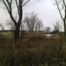
Klebitz-Rahnsdorfer Feldsölle
4.6 km
Bauernmuseum Zahna
1.2 km
Wittenberger Vorfläming und Zahnabachtal
6.8 km
Friedenthaler Grund
4.7 km
Küchenholzgraben bei Zahna
3.8 km
Freibad Schwimm- und Erlebnisbad Zahna
1.3 km
Gedenkstein Gefallene 2. Weltkrieg
5.1 km
Gedenkstein Gefallene 1. Weltkrieg
5.1 km
Memorial
4.8 km
Memorial
4.1 km
Memorial, war memorial
5.7 km
Water well
555 mReviews
Visited this place? Tap the stars to rate it and share your experience / photos with the community! Try now! You can cancel it anytime.
Discover hidden gems everywhere you go!
From secret cafés to breathtaking viewpoints, skip the crowded tourist spots and find places that match your style. Our app makes it easy with voice search, smart filtering, route optimization, and insider tips from travelers worldwide. Download now for the complete mobile experience.

A unique approach to discovering new places❞
— Le Figaro
All the places worth exploring❞
— France Info
A tailor-made excursion in just a few clicks❞
— 20 Minutes