MONOLITH 2014
Location: Münster-Nord
Location: Münster
Creator: Sandra Silbernagel
Creator: Sandra Silbernagel
GPS coordinates: 52.01453,7.63931
Latest update: November 21, 2025 16:23

Vogelschutzgebiet 'Rieselfelder Münster'
2.1 km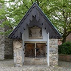
Lepramuseum in Münster
2.5 km
Speicherstadt Münster
1.9 km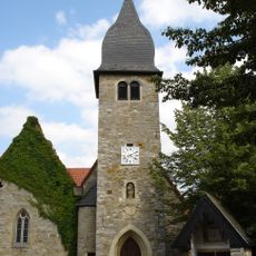
Saint Joseph Church
2.4 km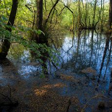
Huronensee
1.5 km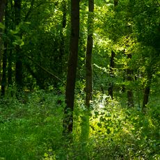
Gelmerheide
1.1 km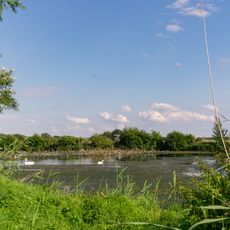
Nördliches Aatal und Emsniederung
896 m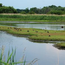
Rieselfelder
2.3 km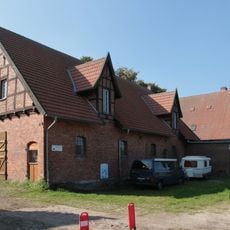
Rieselfeldhof Münster
49 m
Saint Norbert Church
2.2 km
Work of art, sculpture
55 m
Bird hide, scenic viewpoint
1.5 km
Zwei gegeneinander verschobene Halbkugeln
3 km
Work of art, sculpture
3 km
Golfübungsanlage - Handicap Hunter
2.8 km
Bird hide, scenic viewpoint
1.9 km
Scenic viewpoint, bird hide
1.4 km
Bird hide, scenic viewpoint
1 km
Bird hide, scenic viewpoint
1 km
Blümchen Planwagenfahrten
2.1 km
Catholic church building, wayside cross, Christianity
2.7 km
Wayside shrine, Christianity
2.9 km
Wayside cross, Christianity
666 m
Catholic church building, wayside shrine, Christianity
2.7 km
Wayside shrine
2 km
Wayside shrine, Christianity, Catholic church building
1.2 km
Memorial
2.4 km
Wayside cross, Christianity, Catholic church building
2.8 kmReviews
Visited this place? Tap the stars to rate it and share your experience / photos with the community! Try now! You can cancel it anytime.
Discover hidden gems everywhere you go!
From secret cafés to breathtaking viewpoints, skip the crowded tourist spots and find places that match your style. Our app makes it easy with voice search, smart filtering, route optimization, and insider tips from travelers worldwide. Download now for the complete mobile experience.

A unique approach to discovering new places❞
— Le Figaro
All the places worth exploring❞
— France Info
A tailor-made excursion in just a few clicks❞
— 20 Minutes