O.T.
Location: Bezirk Mitte
Location: Saarbrücken
Inception: January 1, 2013
Creator: Roland Stefan Hoffmann
Made from material: weathering_steel
Creator: Roland Stefan Hoffmann
GPS coordinates: 49.22279,7.02450
Latest update: November 23, 2025 11:05
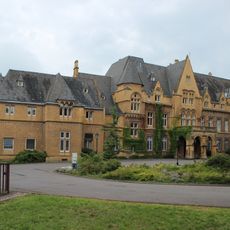
Schloss Halberg
562 m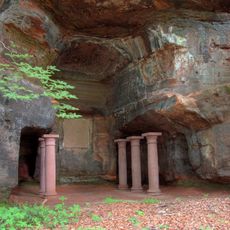
Halberg
600 m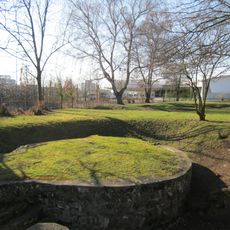
Römerkastell Saarbrücken
116 m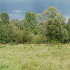
St. Arnualer Wiesen
512 m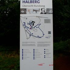
Rundweg Historischer Halberg
600 m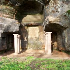
Halberg Mithraeum
253 m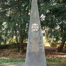
Grabmal Fürst Heinrich von Nassau-Saarbrücken
466 m
Die Mühle
465 m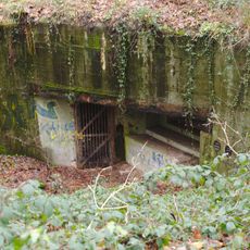
Bunker WH 314
545 m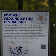
Aussichtspunkt auf das Saartal
253 m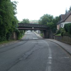
Railway bridge Eschberger Weg
608 m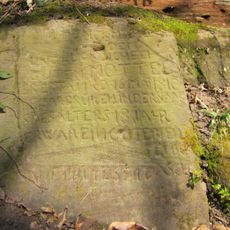
Der Gute Mottel
293 m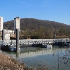
East Harbour Bridge Saarbrücken
283 m
St. Arnualer Wiesen
616 m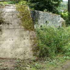
Bunker WH 310
439 m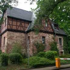
Stummsche Wirtschaftsgebäude
537 m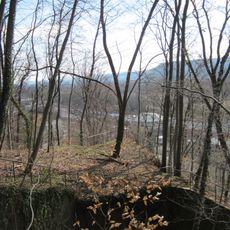
Bunker WH 313
304 m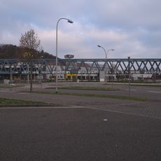
Railway bridge at Römerkastell
443 m
Bunker WH 315
627 m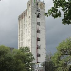
Silo am Osthafen
47 m
Rhenania-Hochhaus
139 m
Figur, hockend
3 m
Karajan
10 m
Strawinski
12 m
Verortung / essentials
7 m
Work of art, statue
630 m
Scenic viewpoint
502 m
Scenic viewpoint
475 mReviews
Visited this place? Tap the stars to rate it and share your experience / photos with the community! Try now! You can cancel it anytime.
Discover hidden gems everywhere you go!
From secret cafés to breathtaking viewpoints, skip the crowded tourist spots and find places that match your style. Our app makes it easy with voice search, smart filtering, route optimization, and insider tips from travelers worldwide. Download now for the complete mobile experience.

A unique approach to discovering new places❞
— Le Figaro
All the places worth exploring❞
— France Info
A tailor-made excursion in just a few clicks❞
— 20 Minutes