Walkway
Location: Ashford
Creator: Emily Allchurch
Creator: Emily Allchurch
GPS coordinates: 51.21684,0.90934
Latest update: October 31, 2025 00:30
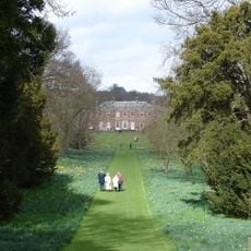
Godmersham Park
2.8 km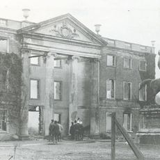
Olantigh
3.3 km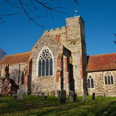
All Saints’ Church, Boughton Aluph
2.3 km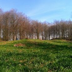
Jacket's Field Long Barrow
818 m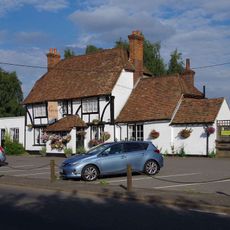
George Inn
1.5 km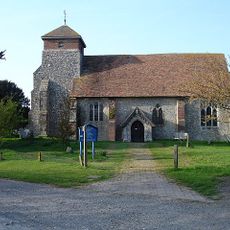
Church of St Peter
2 km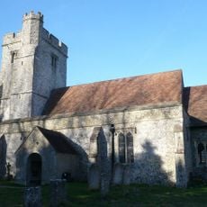
Church of St Cosmas and St Damian
2.5 km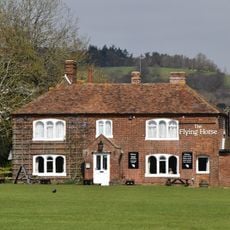
Flying Horse Inn
3.3 km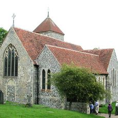
Church of St Lawrence
2.9 km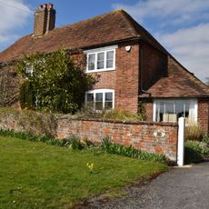
Old Post Office
3.3 km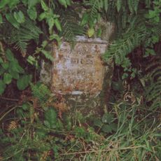
Milestone
2 km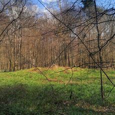
Bowl barrow in King's Wood, Wye
746 m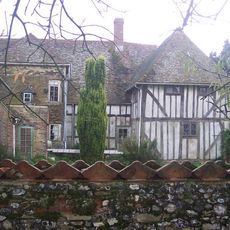
Great Bower Farmhouse
2.5 km
Stables 15 Yards North Of The Flying Horse Inn
3.3 km
Milestone, Canterbury Road, N of Boughton Corner
2.5 km
Milestone, Canterbury Road, opp. Church Road
3.3 km
Milestone, Canterbury Road, Bilting, by The Parish Farmhouse
2.4 km
Bay Tree Cottage
3.3 km
Coppice Cloud Chamber
565 m
Score for a Hole in The Ground
687 m
B52
632 m
The Last Eleven Years
438 m
Untitled Artwork
320 m
Ring
503 m
The Miracle of The Legs
626 m
Super Kingdom
895 m
Via Lucem Continues
649 m
Untitled Artwork
993 mReviews
Visited this place? Tap the stars to rate it and share your experience / photos with the community! Try now! You can cancel it anytime.
Discover hidden gems everywhere you go!
From secret cafés to breathtaking viewpoints, skip the crowded tourist spots and find places that match your style. Our app makes it easy with voice search, smart filtering, route optimization, and insider tips from travelers worldwide. Download now for the complete mobile experience.

A unique approach to discovering new places❞
— Le Figaro
All the places worth exploring❞
— France Info
A tailor-made excursion in just a few clicks❞
— 20 Minutes