Durham Angel
Location: County Durham
Creator: Ray Lonsdale
GPS coordinates: 54.75517,-1.39307
Latest update: November 30, 2025 07:09
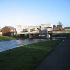
Apollo Pavilion
3.1 km
Shotton Hall
2.4 km
Wingate Quarry
3.2 km
Tuthill Quarry
2.8 km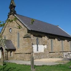
Church of the Holy Trinity
3.2 km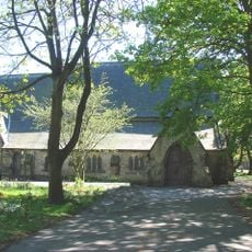
St Saviour's Church
985 m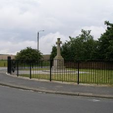
Ludworth War Memorial
3.1 km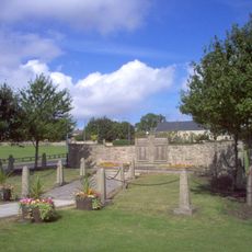
Thornley War Memorial
2.6 km
Wingate Grange Colliery Disaster Memorial
3.2 km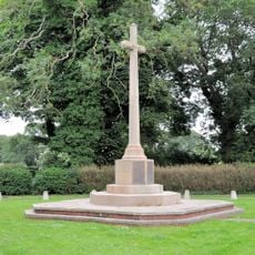
Castle Eden War Memorial
3.4 km
Factory Dene House Factory Wayside Factory Woodside
3.3 km
Factory Numbers 9, 10 And 11 (The Forge)
3.2 km
Medieval settlement and open field system at Old Wingate
3.1 km
Haswell Colliery engine house, 180m north west of Plough Farm
2.7 km
Headstone To Peter Lee, 50 Metres South Of Former Chapel
2.1 km
Entrance Building Attached To West Of The Brewery House
3.1 km
Pigeon Cote 40 Metres North East Of Pesspool Hall
3.1 km
Hippodrome Cinema
821 m
Wheatley Hill War Memorial Cross
2.1 km
War Memorial
964 m
The Brewery House
3.1 km
Factory Number 2, Dene Croft And Number 5
3.3 km
Castle Eden Golf Club
3.2 km
Work of art
3.3 km
Installation artwork, Work of art
2.2 km
Work of art
876 m
Scenic viewpoint
3 km
Scenic viewpoint
3.1 kmVisited this place? Tap the stars to rate it and share your experience / photos with the community! Try now! You can cancel it anytime.
Discover hidden gems everywhere you go!
From secret cafés to breathtaking viewpoints, skip the crowded tourist spots and find places that match your style. Our app makes it easy with voice search, smart filtering, route optimization, and insider tips from travelers worldwide. Download now for the complete mobile experience.

A unique approach to discovering new places❞
— Le Figaro
All the places worth exploring❞
— France Info
A tailor-made excursion in just a few clicks❞
— 20 Minutes