
Frank Doyle's work at Panns Bank, which honours the shipyards
Location: Sunderland
Creator: Frank Doyle
Creator: Frank Doyle
GPS coordinates: 54.90931,-1.38202
Latest update: November 9, 2025 14:56
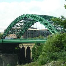
Wearmouth Bridge
91 m
Wearmouth Bridge
91 m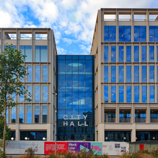
City Hall, Sunderland
310 m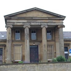
Monkwearmouth Station Museum
338 m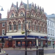
Elephant Tea Rooms
213 m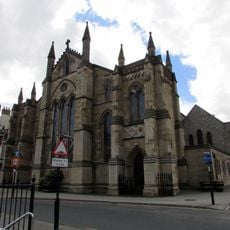
St Mary's Church, Sunderland
131 m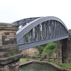
Monkwearmouth Bridge
114 m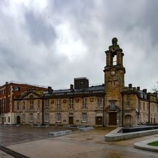
New Sunderland Square
310 m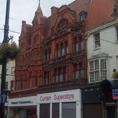
Corder House and Sydenham House
337 m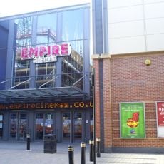
Empire Cinema
174 m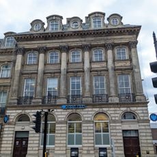
Barclays Bank
340 m
Lloyd's Bank And Attached Walls And Gates
312 m
Barclay Lodge
338 m
Hutchinson's Buildings
189 m
211 And 212, High Street West
232 m
Borough Social Services Area Office
340 m
101, 102 And 103, High Street West
189 m
Register Buildings
208 m
Custom House
308 m
Former Salvation Army Citadel
200 m
Wall Attached To North West
333 m
43-48, West Sunniside
316 m
110, 111 And 112, High Street West
192 m
The Midland Bank
307 m
Royal Bank Of Scotland
219 m
Second Sun
157 m
Fans Museum
339 m
Central Buildings
282 mReviews
Visited this place? Tap the stars to rate it and share your experience / photos with the community! Try now! You can cancel it anytime.
Discover hidden gems everywhere you go!
From secret cafés to breathtaking viewpoints, skip the crowded tourist spots and find places that match your style. Our app makes it easy with voice search, smart filtering, route optimization, and insider tips from travelers worldwide. Download now for the complete mobile experience.

A unique approach to discovering new places❞
— Le Figaro
All the places worth exploring❞
— France Info
A tailor-made excursion in just a few clicks❞
— 20 Minutes